Commercial Drones, Photogrammetry & Aerial LiDAR — DJI Enterprise Solutions from Phirez
DJI Enterprise Drones, Cameras & LiDAR Payloads
High-efficiency RTK drone platforms, survey-grade sensors, and autonomous operations hardware — DJI's current enterprise line-up, supplied and supported by Phirez across Uganda and East Africa.
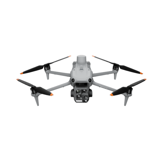
DJI Matrice 4 Series
Integrated Multi-Sensor Imaging | Improved Low-Light Performance | O4 Enterprise Transmission | Dock 3 Compatible
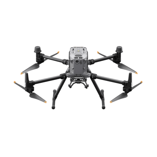
DJI Matrice 350 RTK
55-Minute Flight Time | IP55 Weather Rating | 2.7kg Payload Capacity | Multi-Frequency RTK
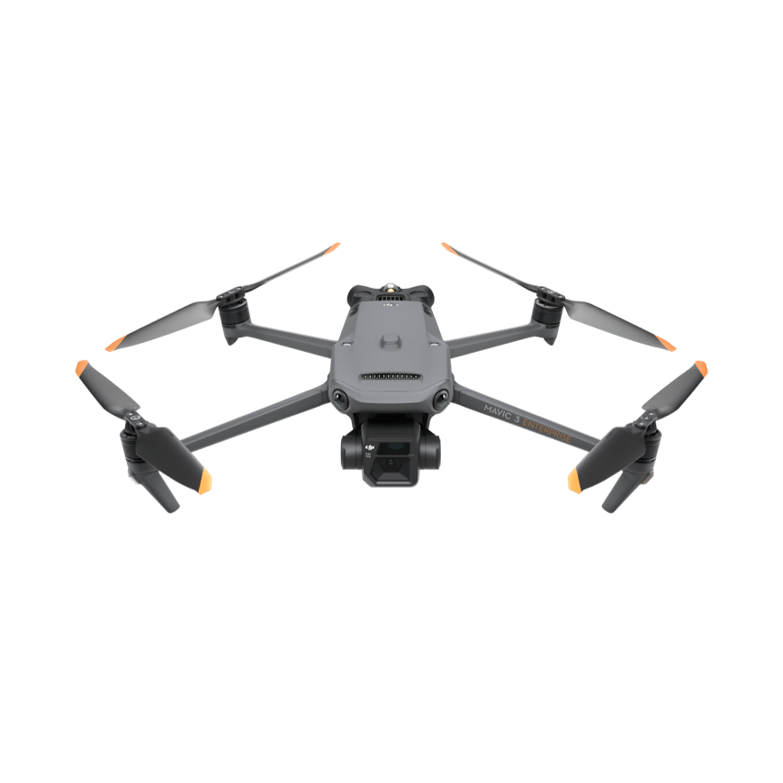
DJI Mavic 3 Enterprise & Thermal
Mechanical Shutter Camera | RTK Module Support | 640×512 Thermal Sensor | 45-Minute Flight Time
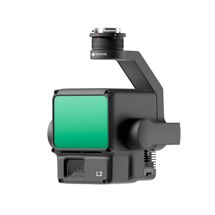
DJI Zenmuse L2
5 LiDAR Returns | 250m Detection Range | Real-Time Point Cloud Coloring | Mounts To Matrice 350/300
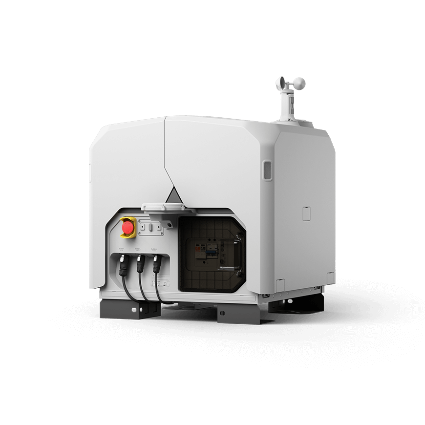
DJI Dock 3
Weatherproof Housing | Ultra-Long Transmission Range | Matrice 4D/4TD Compatible | Automated FlightHub 2 Missions
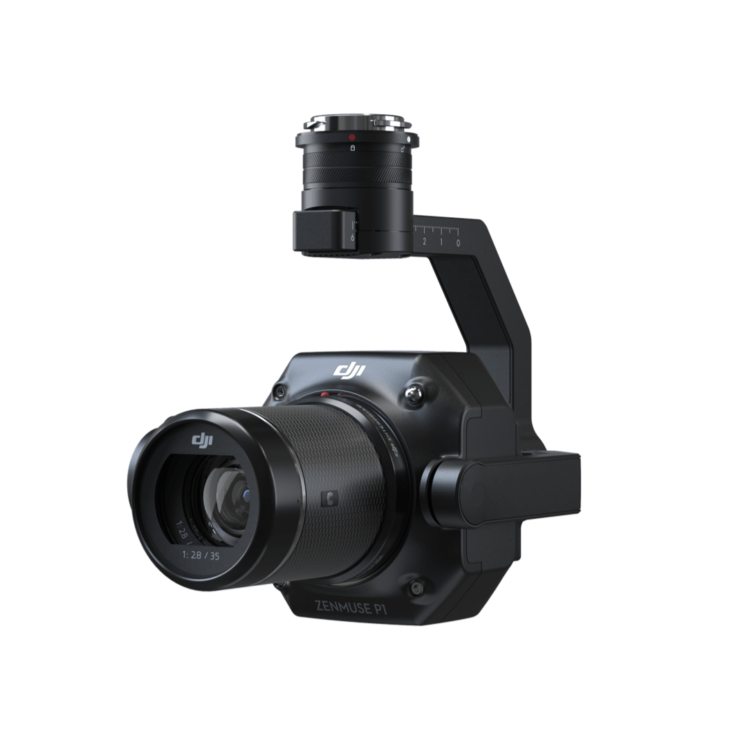
DJI Zenmuse P1
Full-Frame 45MP Sensor | Interchangeable Fixed-Focus Lenses | Smart Oblique Capture | DJI Terra Processing
Certified Support For Your DJI Enterprise Fleet
Drones are only as productive as the data workflow behind them. We back every platform with technical support, LiDAR/photogrammetry processing guidance, and certified pilot training.
Certified DJI Enterprise Support
Firmware updates, flight-planning guidance, and hands-on troubleshooting for Matrice, Mavic, and Zenmuse payloads operating across Uganda’s varied terrain and climate.
- Firmware & RTK module configuration
- Flight planning & airspace guidance
- Repair coordination for DJI Enterprise hardware
LiDAR & Photogrammetry Processing
Guidance turning raw Zenmuse L3 point clouds and Mavic 3E imagery into deliverables — classified point clouds, DTMs/DSMs, and orthomosaics ready for CAD or GIS.
- Point cloud classification & QA workflows
- DTM/DSM & orthomosaic generation support
- Export to Trimble Business Center & Esri formats
Commercial Drone Pilot Training
Structured, blended learning combining classroom theory with hands-on field practicals to build certified drone operators and LiDAR data handlers on your team.
- Commercial drone pilot & flight-planning practicals
- LiDAR & photogrammetry post-processing
- Custom corporate in-house upskilling
Ready To Scale Your Aerial Data Capture?
Our application engineers help you match the right DJI Enterprise platform and payload to your project, with an on-site flight demonstration where useful.