Trimble Survey & Positioning Systems
As Uganda’s Authorised Trimble Distributor, Phirez supplies and supports the complete Trimble ecosystem — GNSS receivers, robotic total stations, 3D laser scanners, and Trimble Access/Business Center software — for surveyors, civil engineers, and mining operations across East Africa.
Trimble GNSS, Total Stations & 3D Laser Scanning
Industry-standard positioning and reality-capture hardware, sold and supported locally with certified calibration and Trimble Access expertise.
Trimble R12i GNSS Receiver
TIP Tilt Compensation | ProPoint RTK Engine | Multi-Constellation GNSS | IP68 Rugged Construction
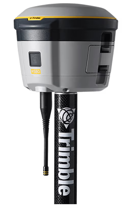
Trimble R580 GNSS System
Everyday Integrated GNSS | Trimble ProPoint Engine | Reliable Accuracy In More Places | Built For Productivity
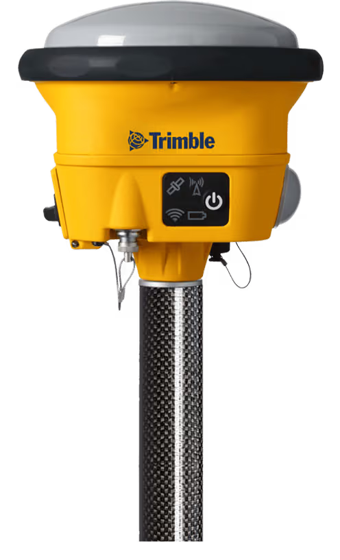
Trimble R780 GNSS System
Ultra-Rugged Integrated GNSS | Built For Toughest Environments | Adaptable & Scalable | Trimble ProPoint Positioning
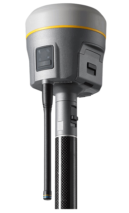
Trimble R980 GNSS System
Peak Accuracy In Remote Locations | Proven GNSS Performance | Overcomes Challenging Conditions | Ready For Any Jobsite
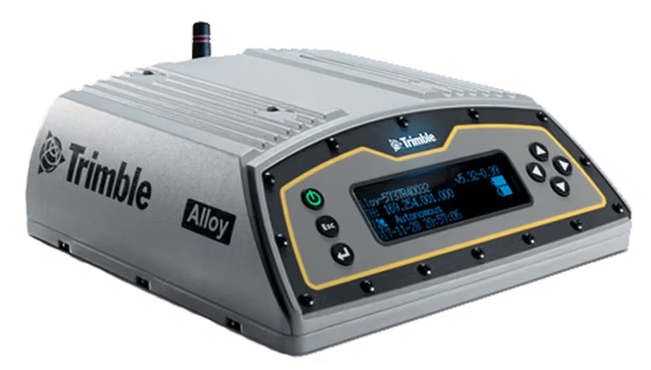
Trimble Alloy GNSS Reference Receiver
Built For Any Real-Time Network | Rugged Global Deployment | CORS & Base Station Ready | Reliable Continuous Operation
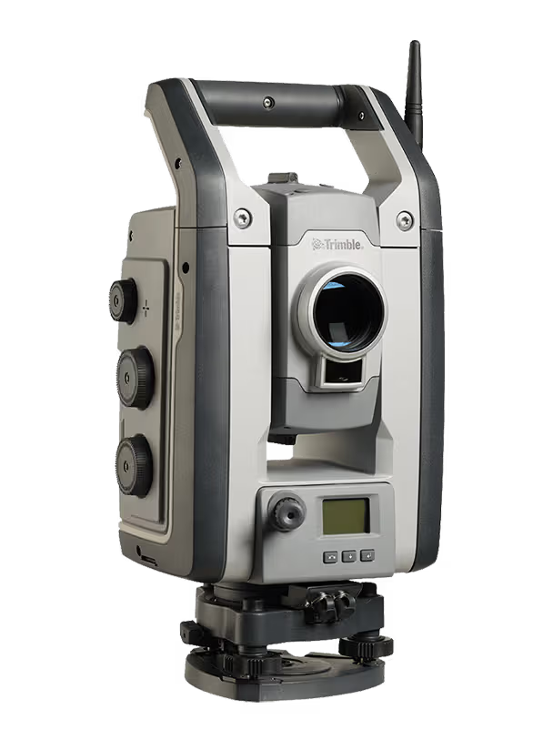
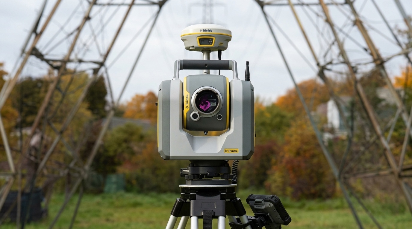
Trimble S9 / S9 HP Total Station
Top-Tier Field Technologies | Highest Trimble Accuracy Class | Built For Monitoring & Tunneling | Advanced Robotic Engineering
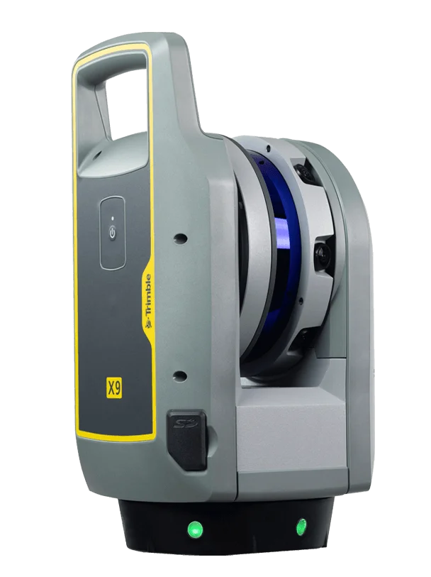
Trimble X9 3D Laser Scanner
Automatic Self-Calibration | Full Scan Under 2 Minutes | In-Field Auto-Registration | Reality Capture Made Simple
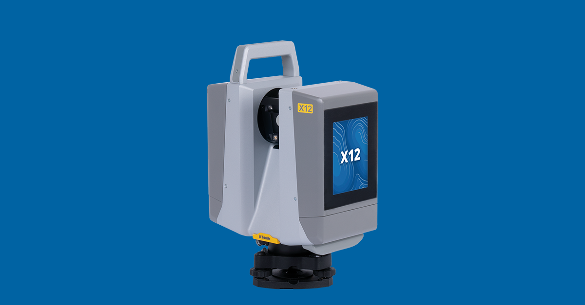
Trimble X12 3D Scanner
2.187M Points/Second | 365m Operational Range | 80MP HDR Color Imagery | Structural Deformation Monitoring
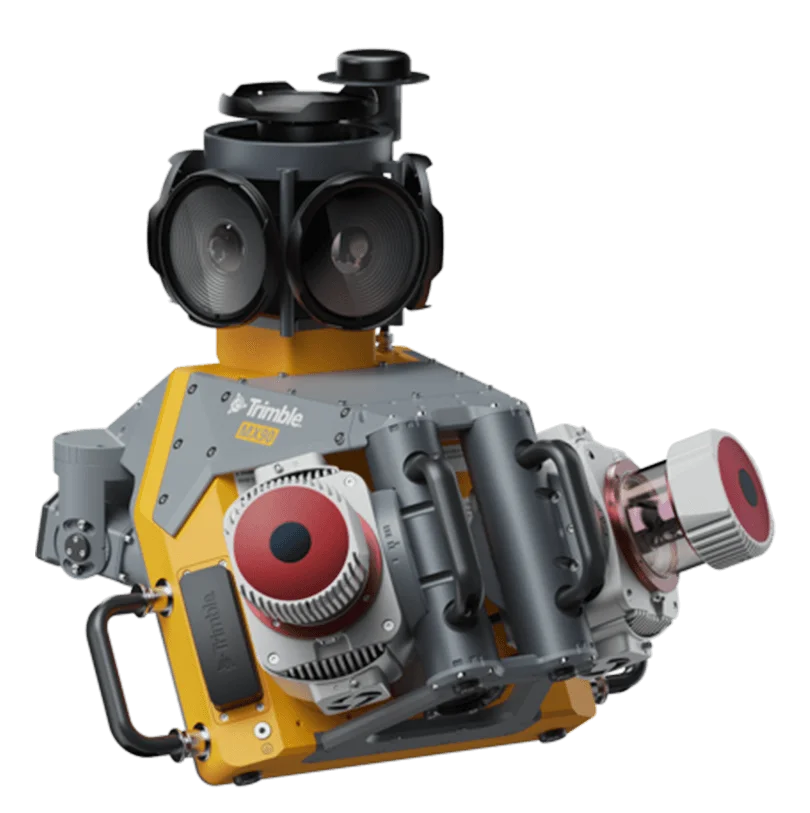
Trimble MX90 Mobile Mapping System
Leading-Edge Mobile Mapping Hardware | Intuitive Field Software | Integrated Office Workflow | Field-To-Finish Solution
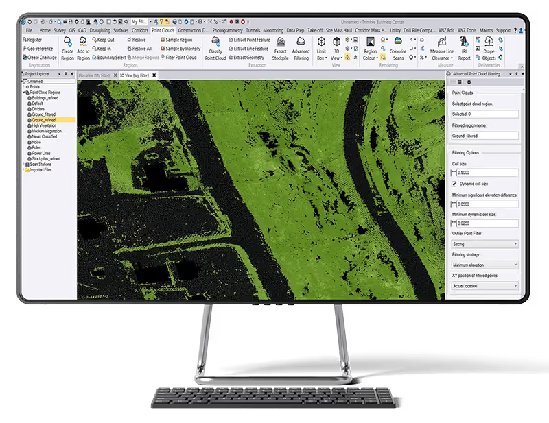
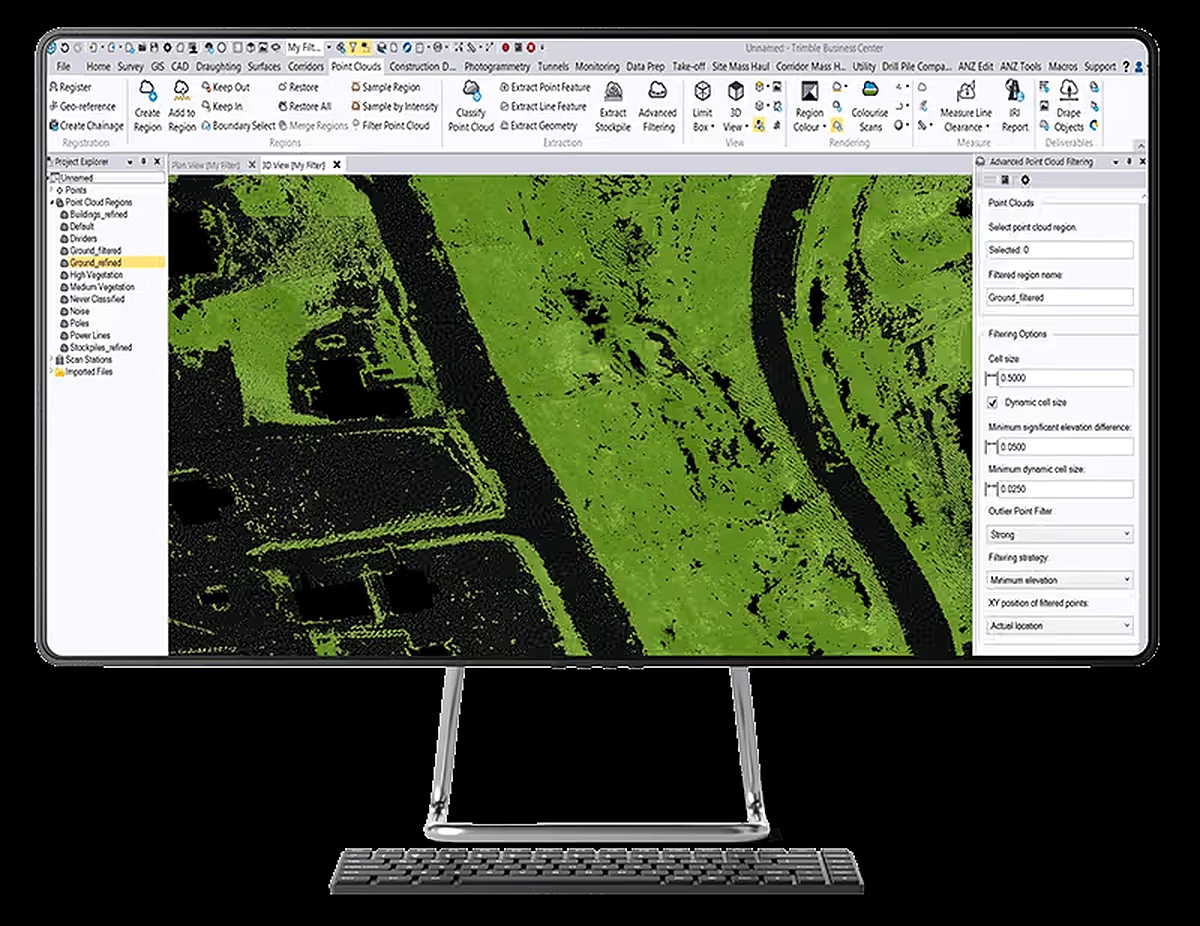
Trimble Business Center (TBC)
Field-To-Finish Survey CAD | GNSS, Total Station & Scanner Data | Drone Photogrammetry Processing | Client-Ready Deliverables
Local Backing For Your Trimble Investment
Buying the instrument is the easy part. Our Kampala calibration lab, HelpDesk, and Training Academy keep Trimble systems accurate and productive for their entire working life.
Certified Calibration in Kampala
Our facility is equipped with optical collimators and EDM baseline test benches to service and calibrate Trimble total stations, GNSS rovers, and levels.
- Multi-collimator baseline optical adjustment
- Laser EDM distance accuracy verification
- Traceable calibration certificates issued
Local Trimble Access Support
Dedicated telephone, WhatsApp, and remote desktop support for field crews troubleshooting coordinate systems, controller firmware, or Trimble Access workflows in real time.
- Trimble Access & controller firmware updates
- Local coordinate system & geoid file setup
- Fast problem turnaround to prevent downtime
Trimble Training Academy
Structured, blended learning combining classroom theory with hands-on field practicals to turn your staff into certified Trimble GNSS and total station operators.
- RTK GNSS & robotic total station practicals
- Trimble Access & Business Center workflows
- Custom corporate in-house upskilling
Ready To Upgrade Your Survey Fleet?
Our application engineers review your project specifications and recommend the right Trimble hardware/software combination, with an on-site demonstration where useful.