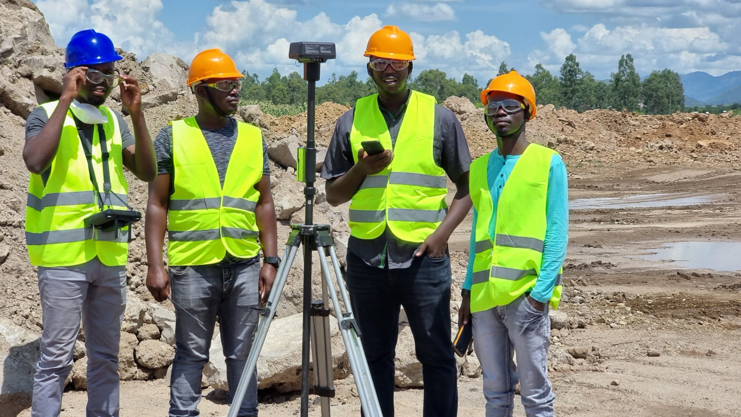
Autonomous Hydrographic Survey Vessels
Phirez supplies Seafloor Systems autonomous and remotely operated survey vessels for bathymetric mapping of reservoirs, dams, rivers, and harbours — replacing manned survey boats with safer, repeatable acoustic data collection across Uganda’s water bodies.
Bathymetric Survey Vessels & Echosounders
Autonomous and remotely operated platforms that map underwater topography without putting a survey crew on the water.
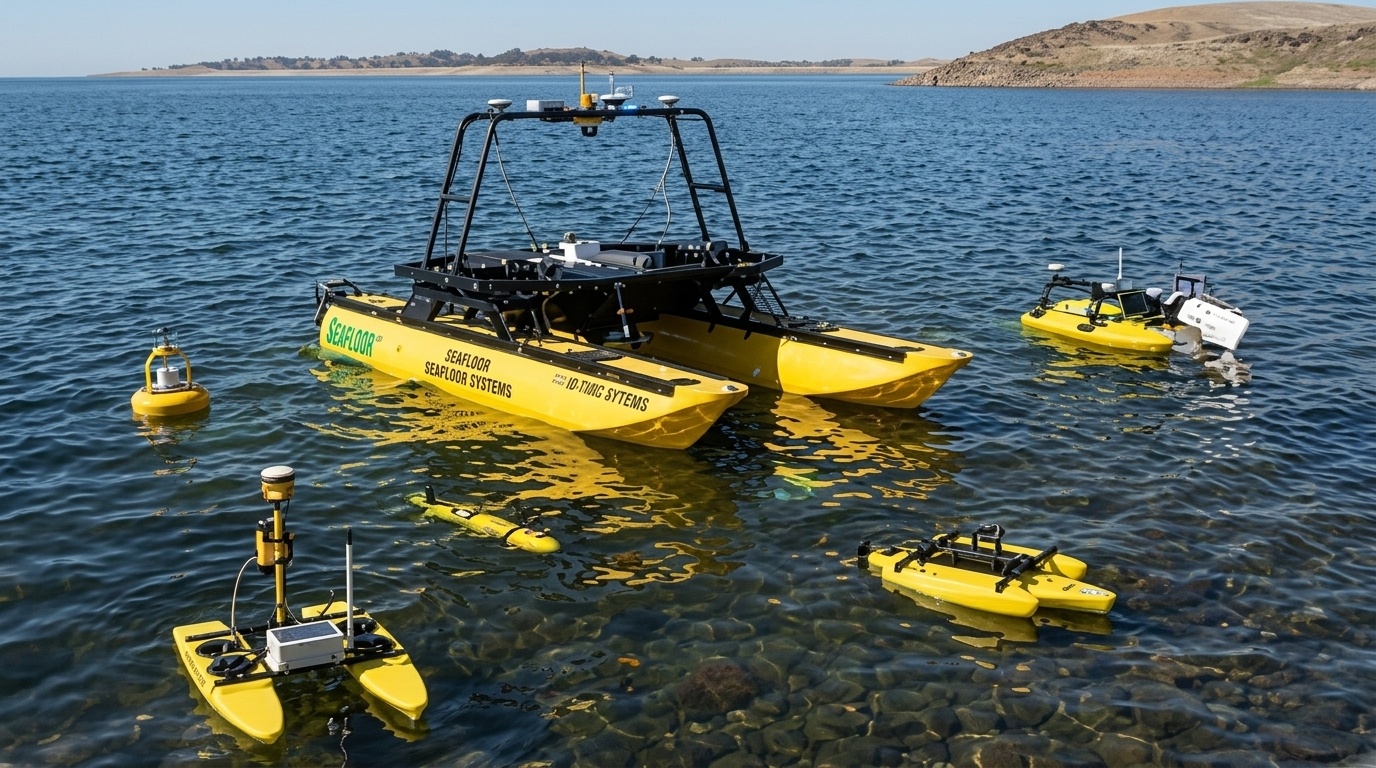
Seafloor EchoBoat Autonomous Survey USV
Autonomous Waypoint Navigation | RTK GNSS Integration | Siltation Volume Auditing | Removes Crew From The Water
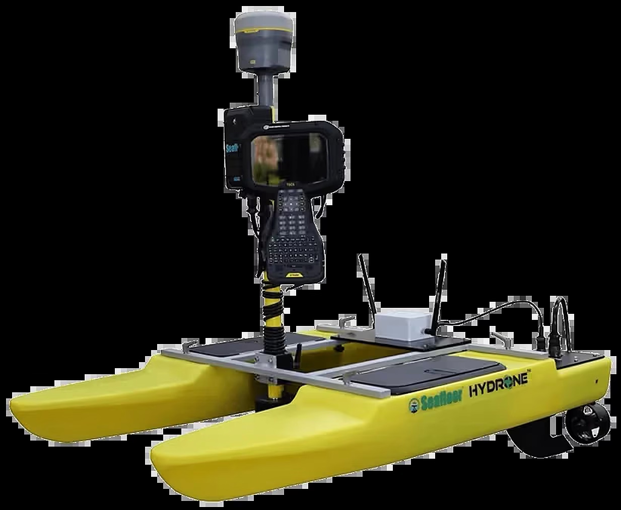
Seafloor HyDrone & TriDrone
Hand-Launchable & Lightweight | Remote Or Autonomous Operation | Singlebeam & RTK GNSS Ready | Ideal For Narrow Waterways
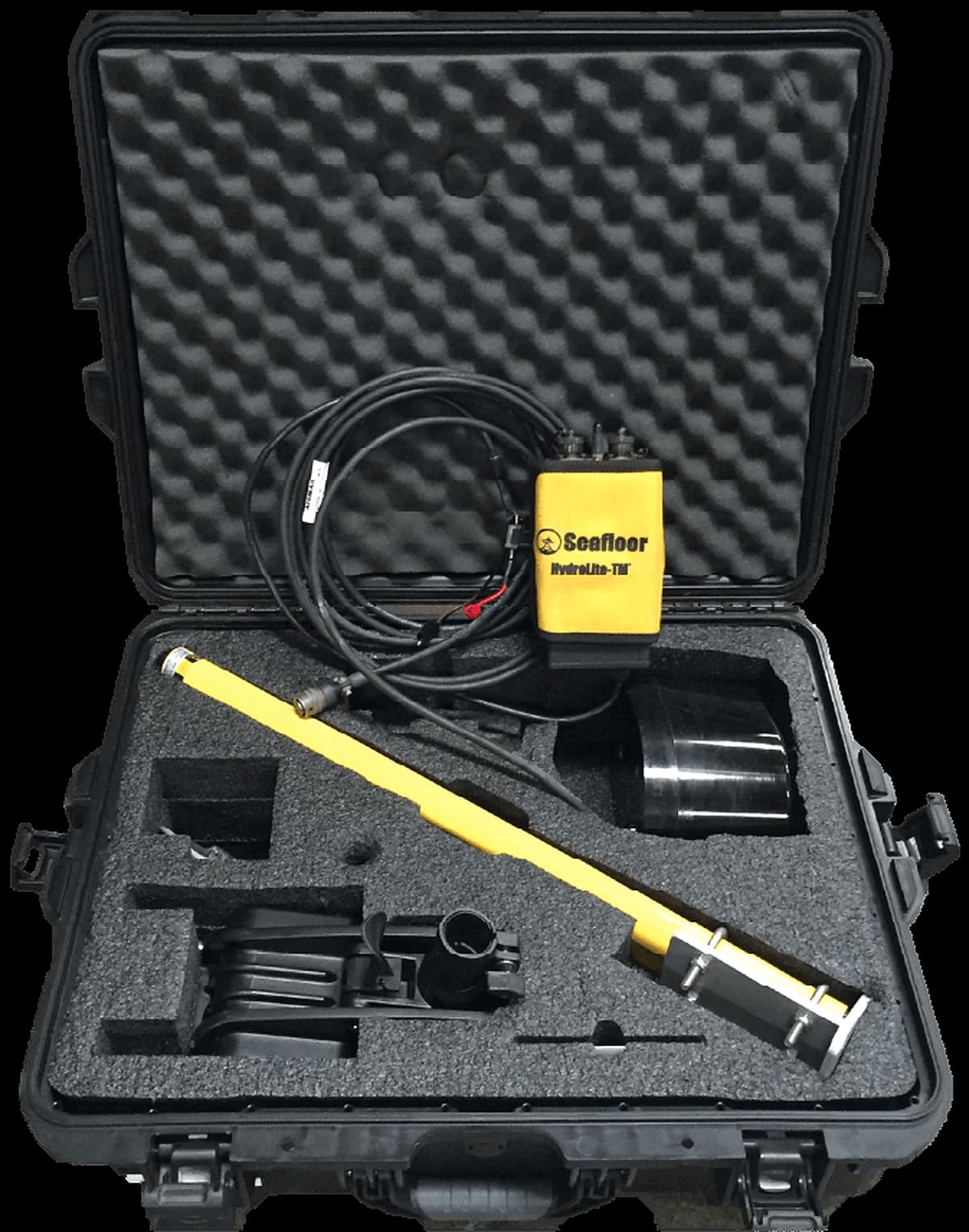
Seafloor HydroLite Echosounder
Compact Low-Power Sensor | GNSS-Georeferenced Soundings | Deployable From Small Boats Or USVs | Standard Software Export
Map The Water Without Putting A Crew On It
Reservoirs, rivers, and harbours are unforgiving places to work. We back every Seafloor Systems platform with certified support and hydrographic survey training.
Safer Than Manned Survey Boats
Autonomous and remote operation keeps survey personnel on dry land while the USV collects bathymetric data across open water, currents, or hazardous reservoirs.
- Remote & autonomous waypoint operation
- Collision-avoidance navigation
- No crew exposure to open-water hazards
Siltation & Reservoir Auditing
Repeatable bathymetric surveys track reservoir and dam siltation over time, supporting dredging planning and hydropower asset management.
- Siltation volume auditing for dams & reservoirs
- Repeatable survey lines for change detection
- Data exported to standard hydrographic formats
Hydrographic Survey Training
Hands-on training in USV deployment, echosounder calibration, and hydrographic data processing for your own field and office staff.
- USV deployment & operation practicals
- Echosounder calibration & QA
- Custom corporate in-house upskilling
Map Your Waterway Without Putting A Crew On The Water
Our application engineers help you match the right Seafloor Systems platform to your reservoir, river, or harbour survey requirements.