
 Infrastructure Benchmark
National Geodetic Control & Infrastructure Cadastral Survey
- The Challenge
Establishing reliable geodetic baselines across expansive, rugged terrain with intermittent cellular coverage — the kind of ground truth road construction and legal cadastre depend on.
- The Solution
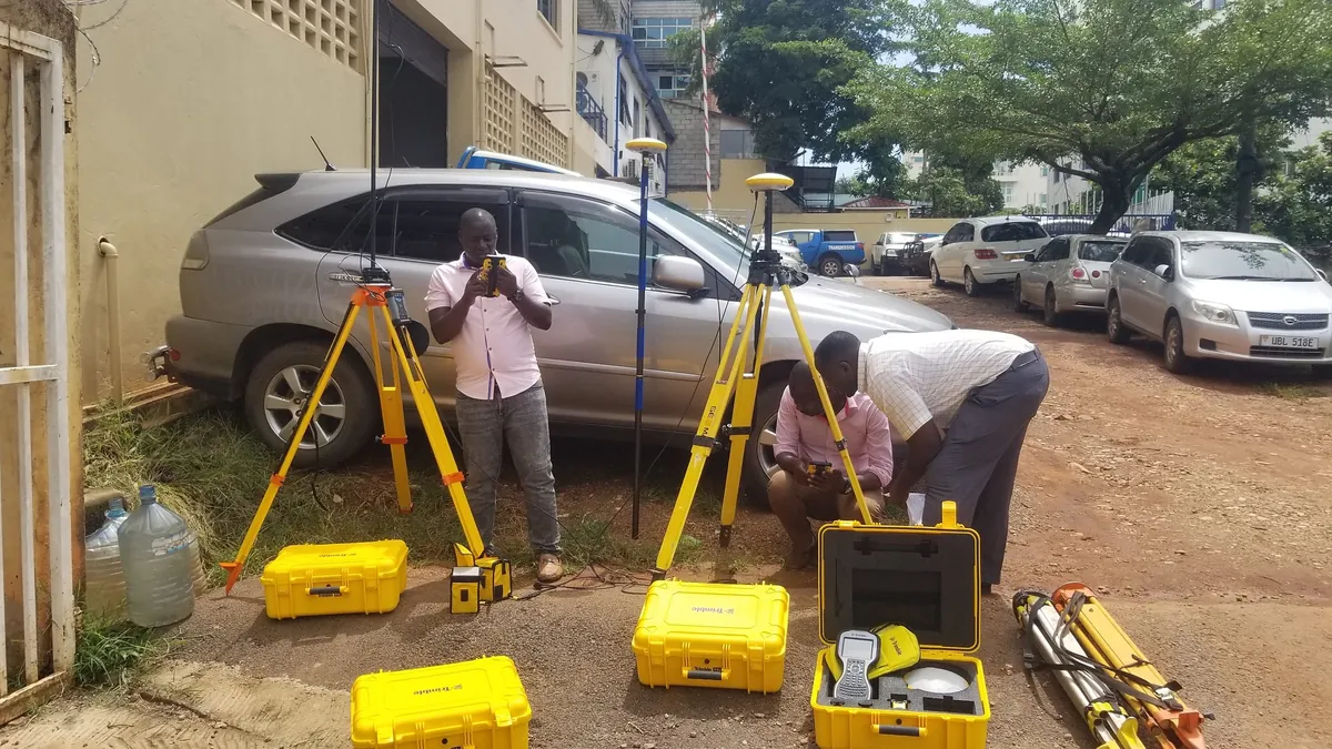
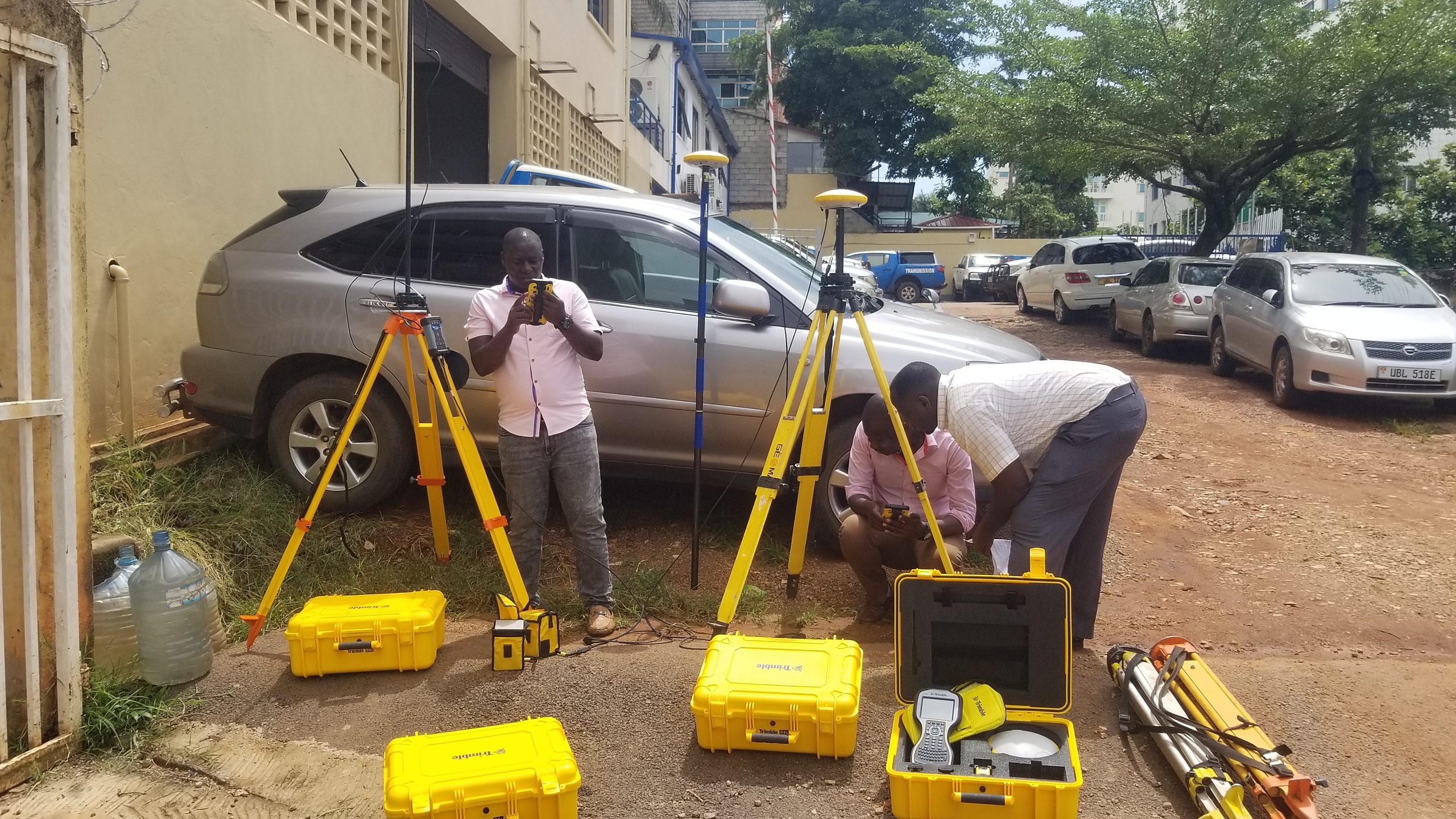
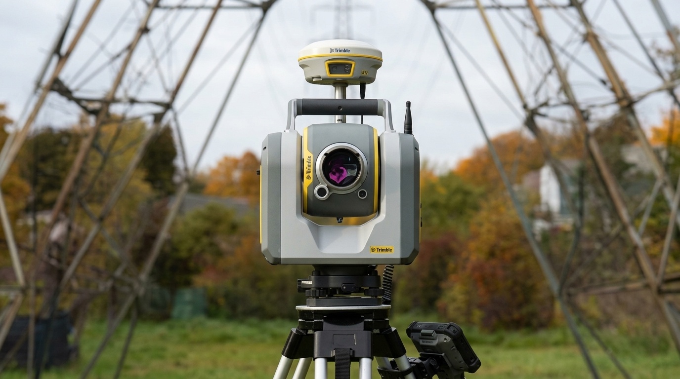
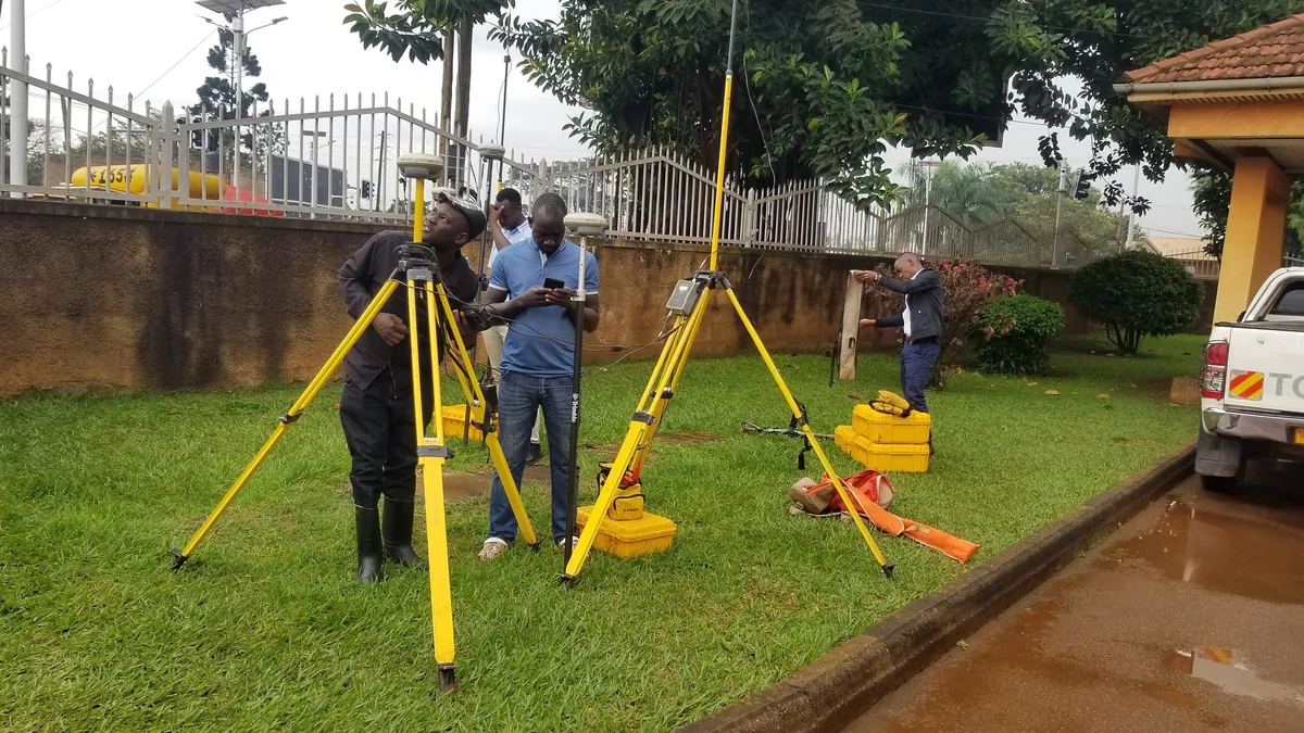
Multi-frequency Trimble R12i GNSS receivers running long-session dual-frequency static observations, tied to the International GNSS Service (IGS) reference frame and processed in Trimble Business Center (TBC) with least-squares network adjustments.
- What This Delivers
High-accuracy control points suitable as the spatial foundation for engineering-grade infrastructure design and legal parcel cadastre.