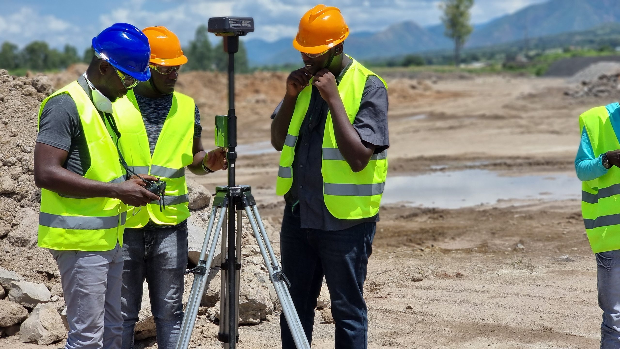
Ground Penetrating Radar & Subsurface Imaging
Phirez supplies US Radar ground penetrating radar (GPR) systems for non-destructive subsurface utility detection, void and rebar location, and geotechnical investigation across Uganda’s construction, utility, and infrastructure sectors.
Non-Destructive Subsurface Radar Imaging
From everyday utility locating to deep geotechnical investigation, US Radar systems detect what’s buried before you dig, drill, or design around it.
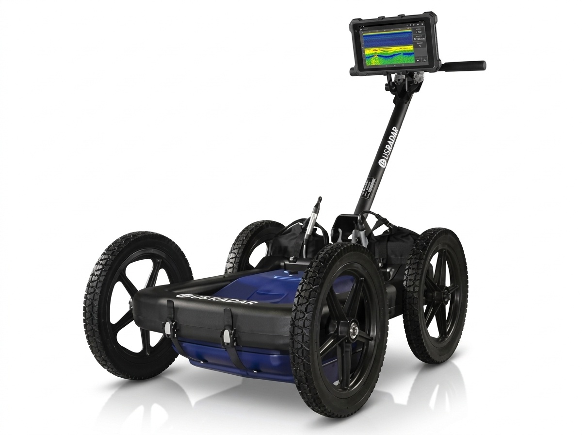
US Radar Quantum Imager Triple-Frequency GPR
Simultaneous 250/500/1000 MHz | GPS-Georeferenced CAD/GIS Export | Real-Time 3D Depth Slicing | Rugged All-Terrain Cart
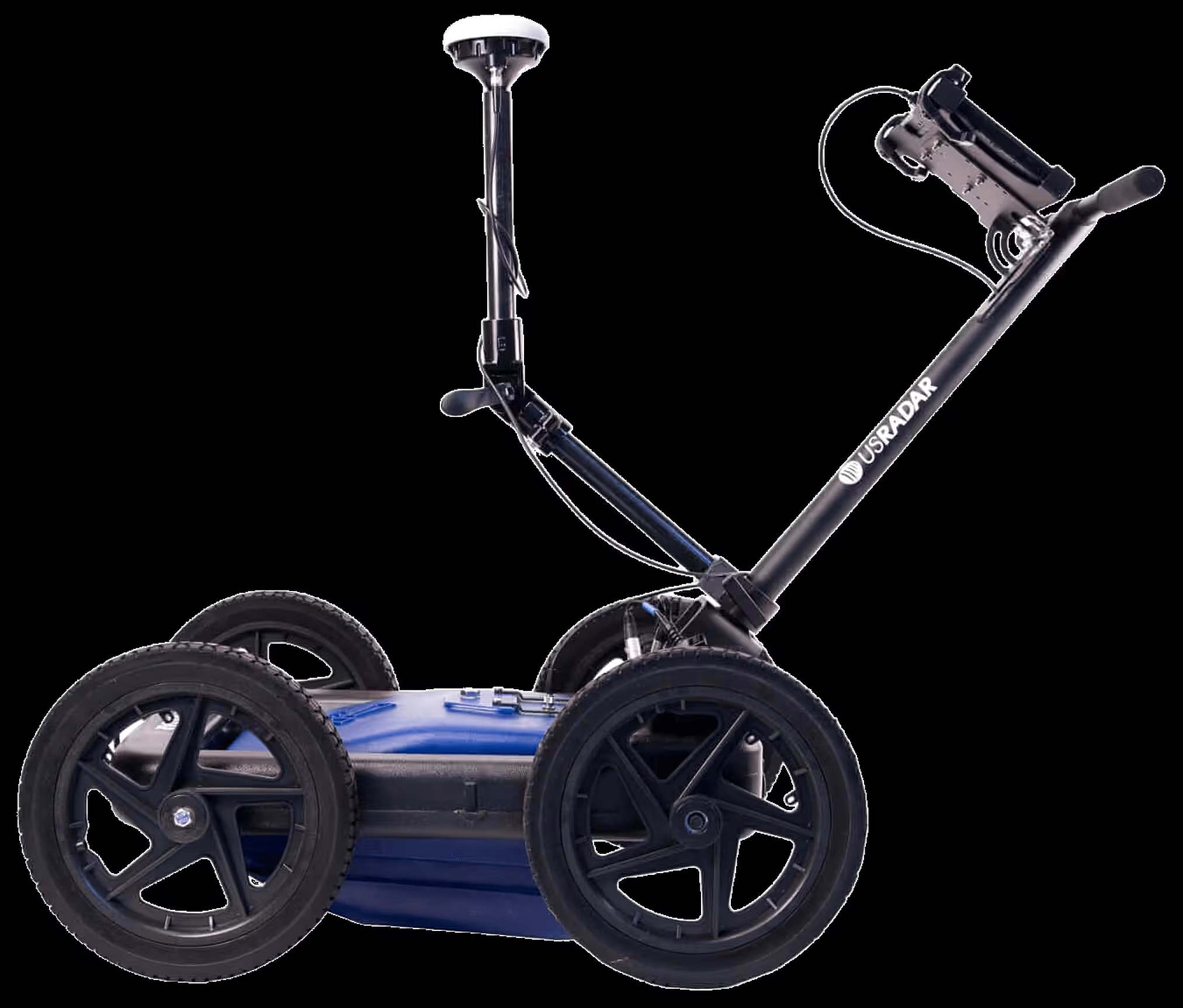
US Radar GPRover
Integrated GNSS Georeferencing | Triple-Bandwidth Antenna | Real-Time On-Cart Logging | Direct CAD/GIS Export
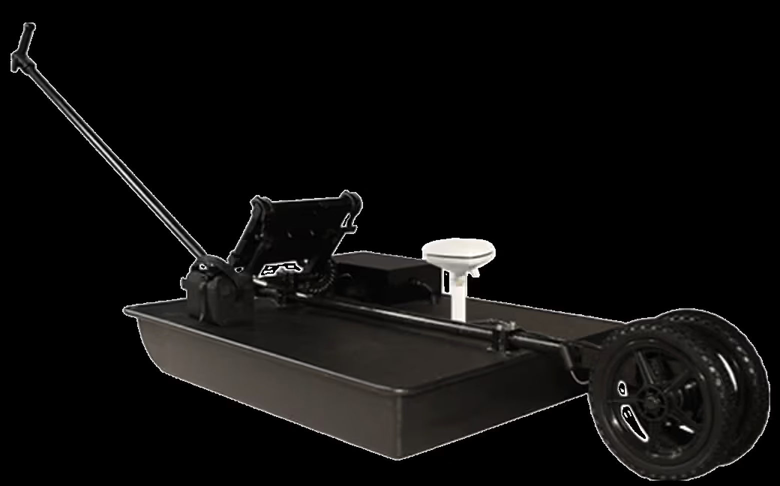
US Radar 100 Series GPR
Up To ~30m Penetration Depth | Modular Antenna Configurations | Tunnel, Dam & Geological Surveys | Radar Studio Processing
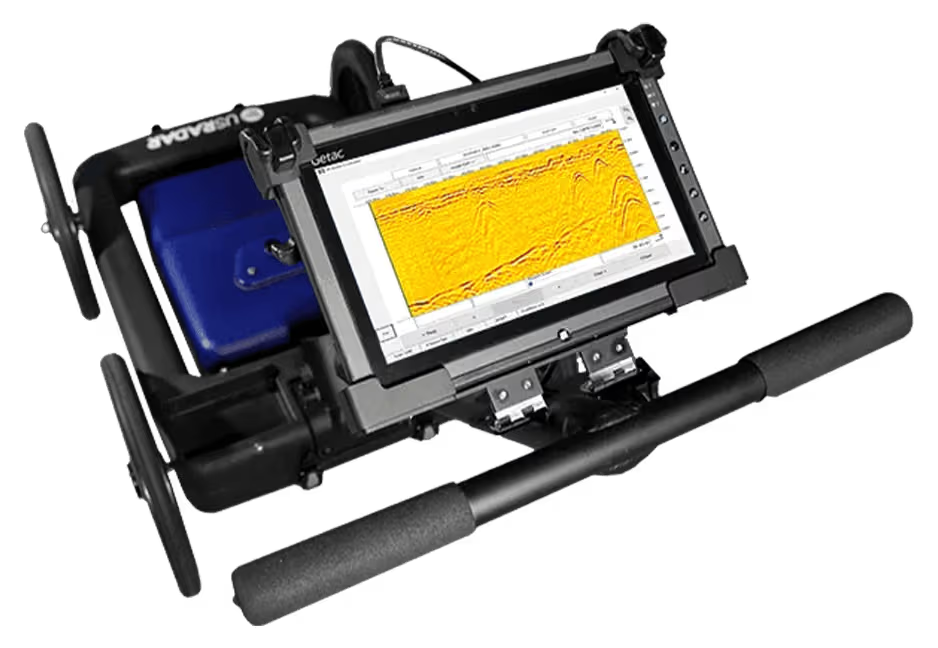
US Radar Field Software
Drives Every US Radar System | Clear, Crisp Graphical Display | Vibrant Color Palette Options | Automatic Gain & Averaging Filters
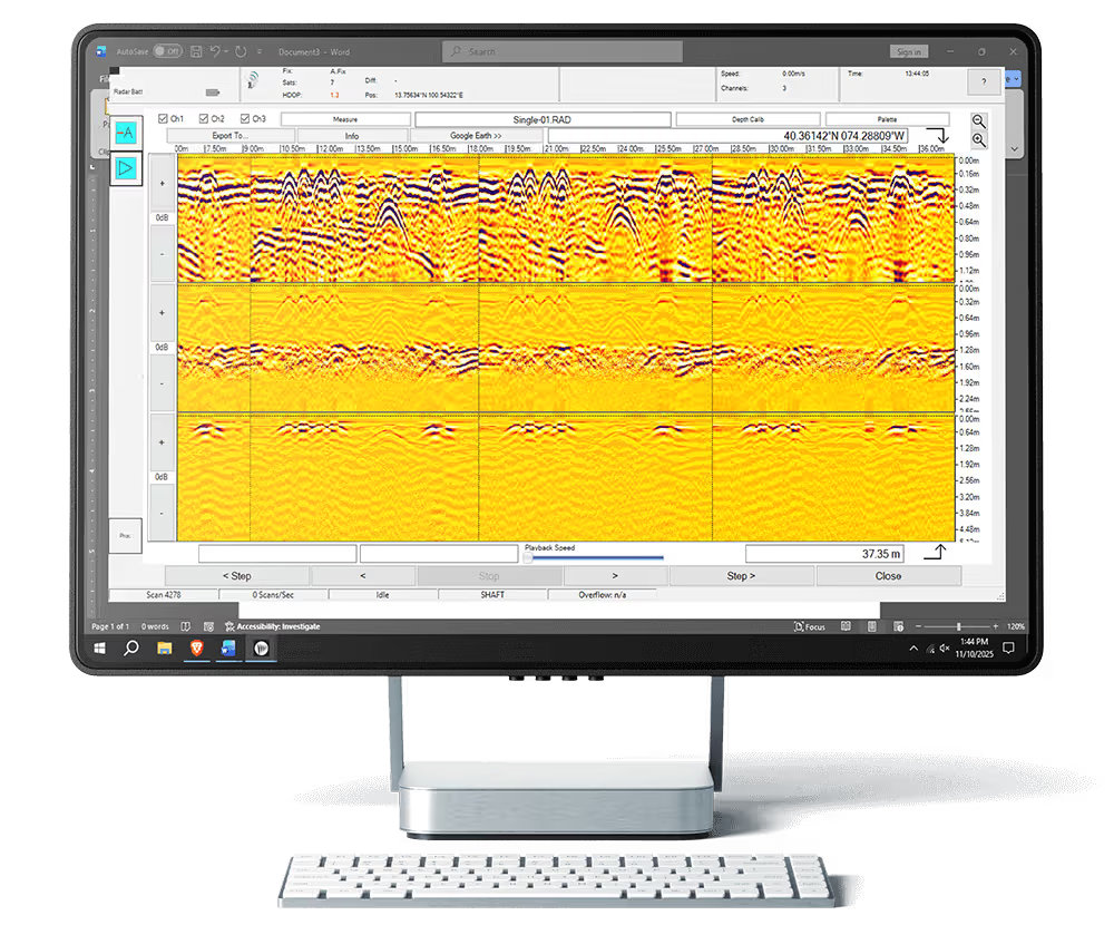
US Radar Radar Studio
All-In-One Viewing & Processing Suite | Infinitely Customisable Interface | Intuitive Controls | Optional Post-Processing Toolkit
Reduce Excavation Risk On Every Dig
A utility strike is expensive and dangerous. We back every US Radar system with certified support, application guidance, and operator training for Uganda’s civil and utility sector.
Zero-Excavation Utility Verification
Locate metallic and non-metallic pipes, cables, and ducts before breaking ground, reducing costly redesigns and unplanned excavation delays on active sites.
- Metallic & non-metallic utility detection
- 3D depth-slice mapping exported to CAD/GIS
- On-site application support for complex soils
Reduced Strike Risk On Civil Sites
Non-destructive scanning ahead of piling, trenching, and directional drilling protects crews and existing infrastructure from accidental utility strikes.
- Pre-construction utility verification surveys
- Void & rebar location for structural work
- Traceable survey records for site handover
GPR Operator Training
Hands-on training in radar data acquisition, depth-slice interpretation, and Radar Studio post-processing for your own site engineers and survey crews.
- Field data acquisition practicals
- Radar Studio post-processing training
- Custom corporate in-house upskilling
Avoid Costly Utility Strikes Before You Dig
Our application engineers help you scope the right US Radar system for your soil conditions and project depth requirements, with an on-site demonstration where useful.