Precision Geospatial & Advanced IT Solutions
From millimeter-accuracy Trimble GNSS and robotic total stations to DJI Enterprise drone LiDAR, US Radar subsurface GPR, and enterprise Esri spatial infrastructure — we provide end-to-end technology and certified service backing.
High-Precision GNSS Positioning & Survey Instruments
Industry-standard positioning technology designed to deliver repeatable millimeter accuracy in dense jungle canopies, urban canyons, and challenging African field environments.
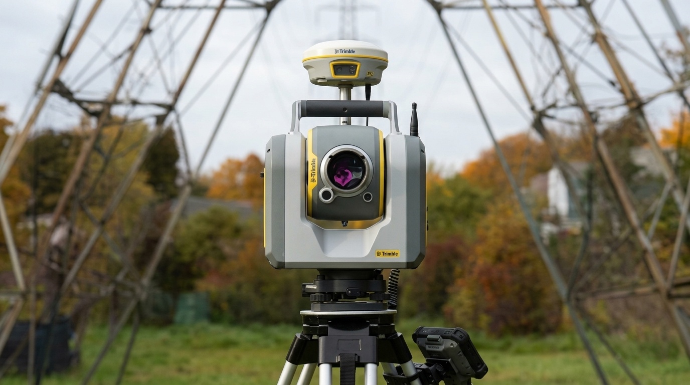
Trimble R12i GNSS Receiver
TIP Tilt Compensation | ProPoint RTK Engine | Multi-Constellation GNSS | IP68 Rugged Construction
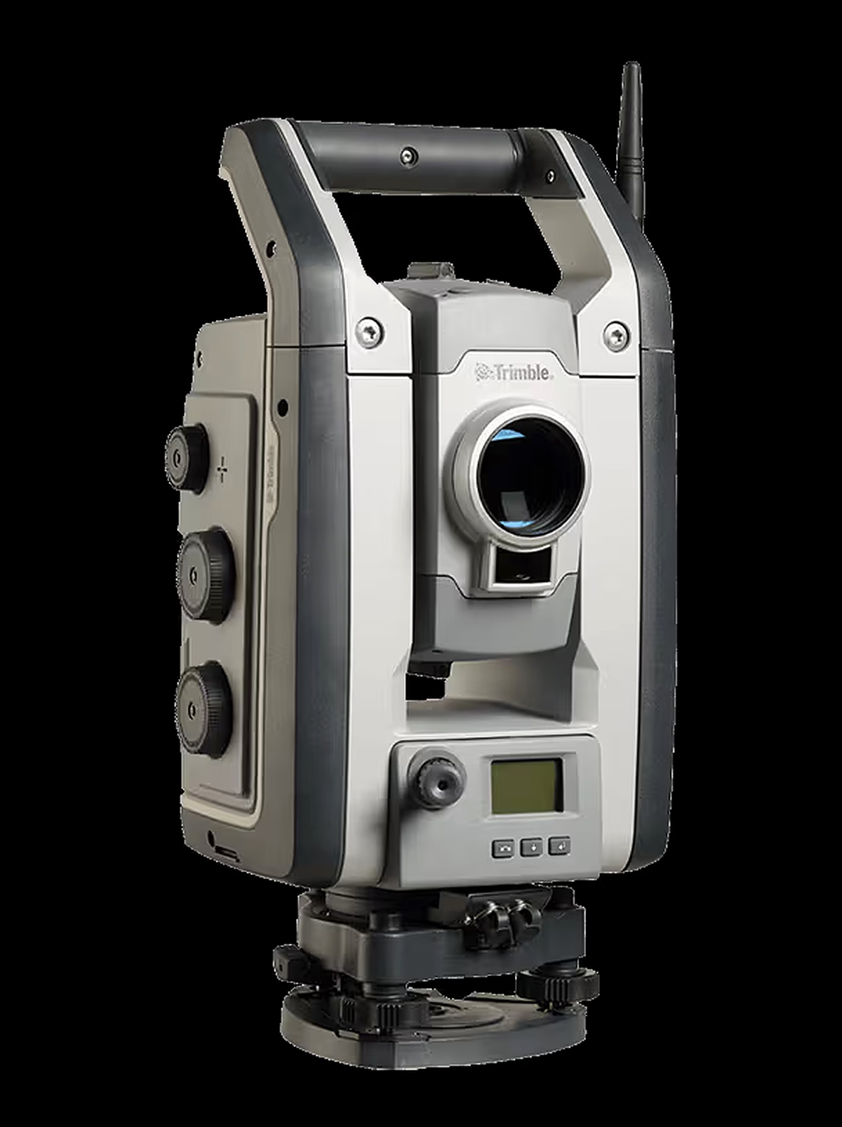
Trimble S-Series (S5, S7 & S9)
MagDrive Servo Technology | SurePoint Auto-Compensation | Trimble VISION Video | Trimble Access Integration
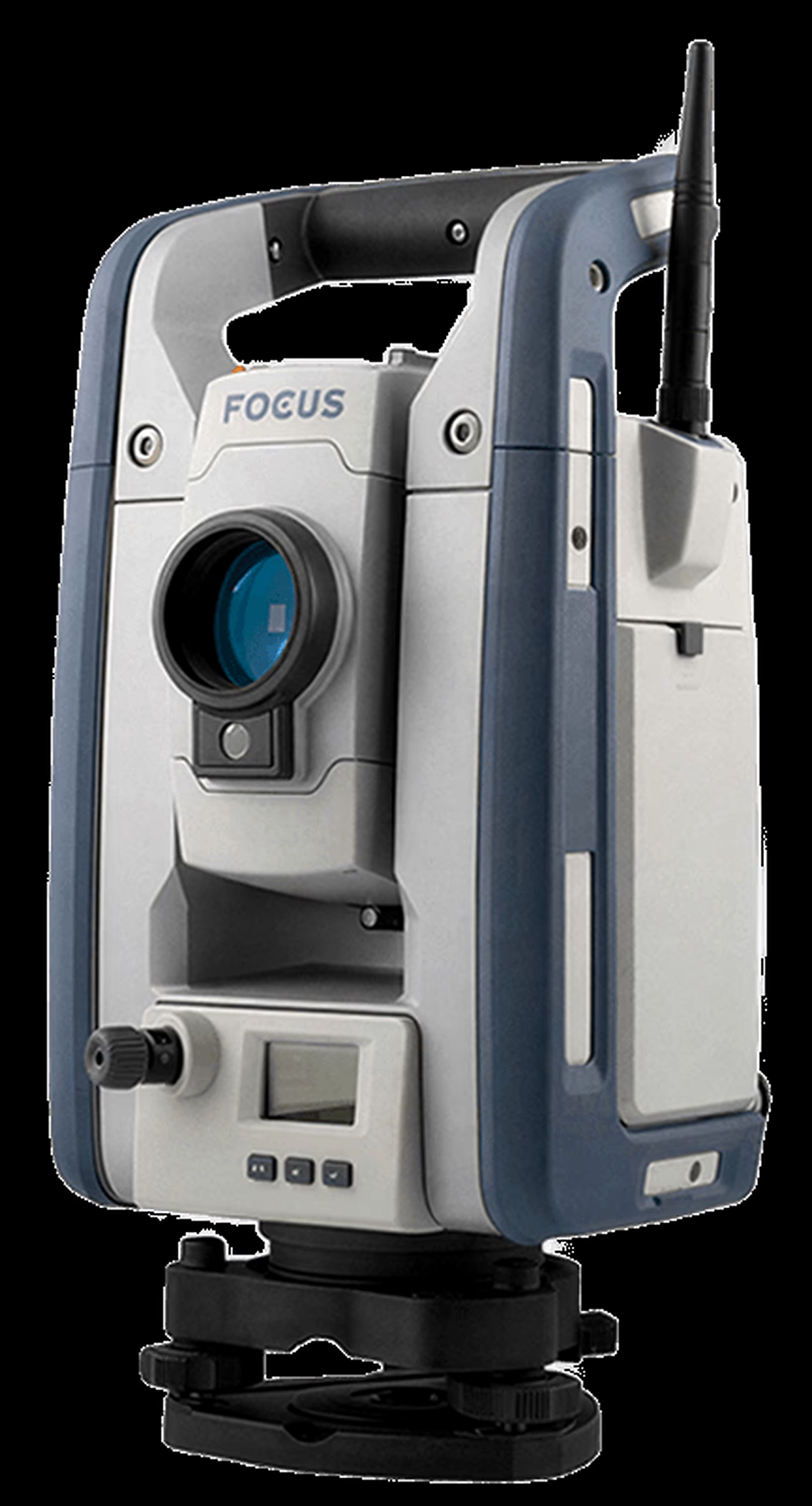
Spectra FOCUS & Nikon Optical Stations
Spectra FOCUS 35 & FOCUS 50 Robotic Stations | Nikon XS & XF Manual Stations | Precision Optical Auto-Levels | Local Calibration Support
Commercial Aerial Drones, Photogrammetry & LiDAR
Accelerate spatial capture across vast mines, agricultural estates, and highway corridors with high-efficiency RTK drone platforms and survey-grade sensors.
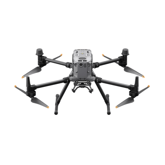
DJI Matrice 350 RTK
55-Minute Flight Time | IP55 Weather Rating | 2.7kg Payload Capacity | Multi-Frequency RTK
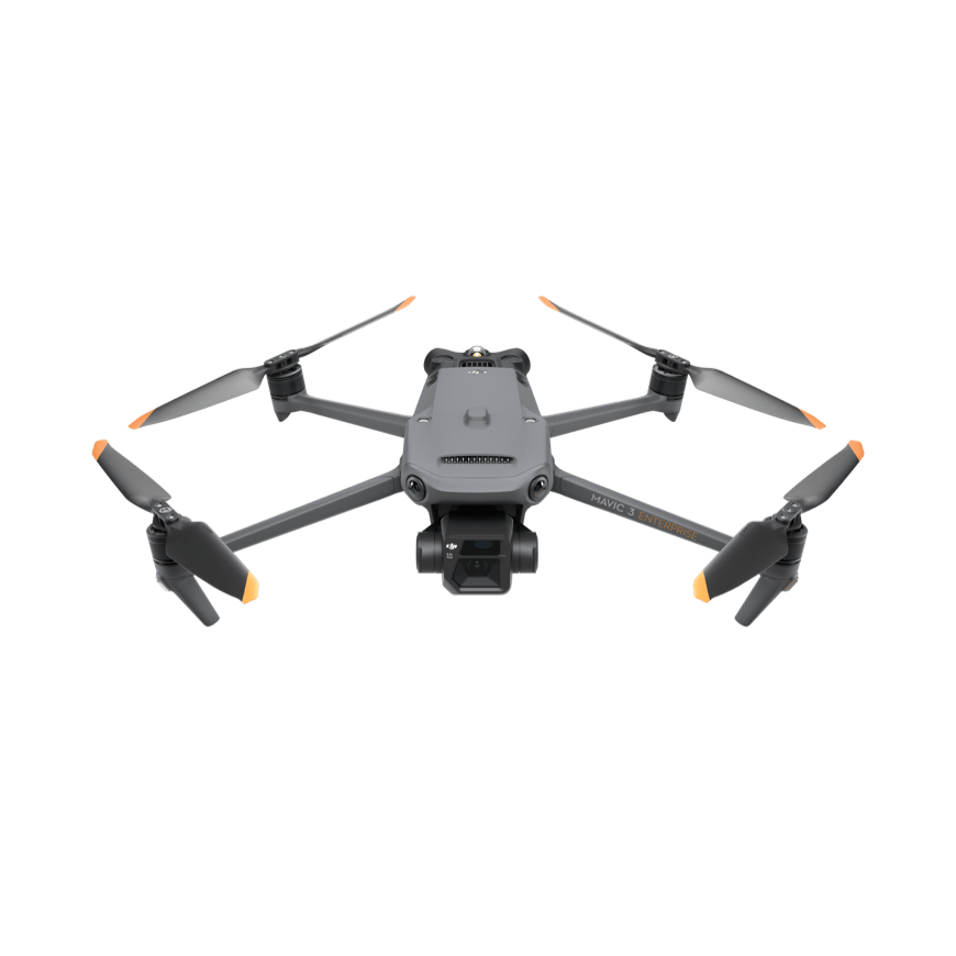
DJI Mavic 3 Enterprise & Thermal
Mechanical Shutter Camera | RTK Module Support | 640×512 Thermal Sensor | 45-Minute Flight Time
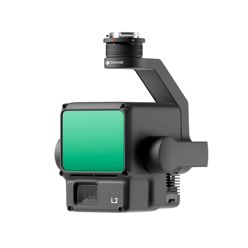
DJI Zenmuse L2 & DJI Dock
5 LiDAR Returns | 250m Detection Range | Real-Time Point Cloud Coloring | Autonomous Dock Operations
Terrestrial Laser Scanners & Mobile SLAM LiDAR
Transform complex physical assets, industrial plants, historical buildings, and GPS-denied tunnels into dense, millimeter-accurate 3D point clouds.
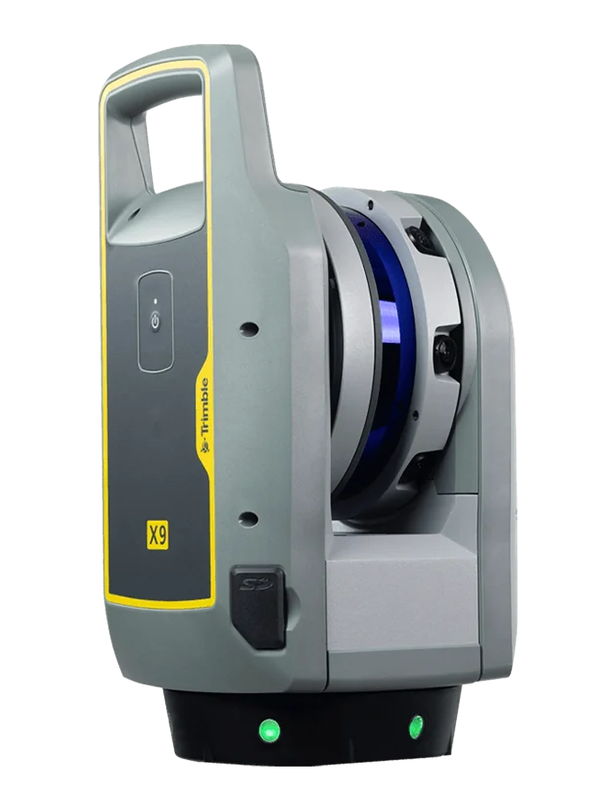
Trimble X7 & X9 Laser Scanners
Automatic Self-Calibration | Full Scan Under 2 Minutes | In-Field Auto-Registration | Ideal For BIM & Tunnels
Trimble X12 3D Scanner
2.187M Points/Second | 365m Operational Range | 80MP HDR Color Imagery | Structural Deformation Monitoring
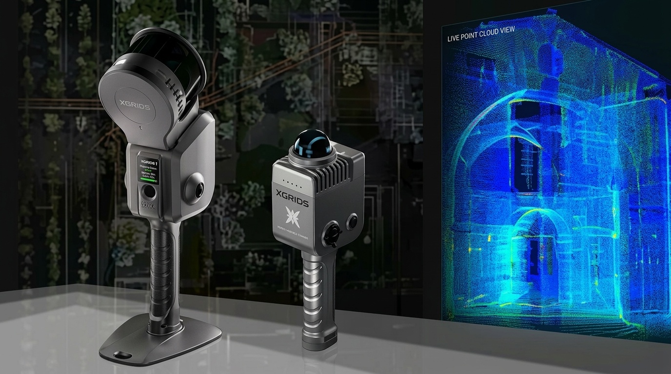
XGRIDS Lixel L2 Mobile SLAM
Real-Time Continuous SLAM | Handheld, Backpack Or Drone-Mountable | Minutes-Fast Building Capture | BIM/CAD Point Cloud Export
Subsurface Utility Detection & Hydrographic Bathymetry
Non-destructive underground utility imaging with US Radar GPR, paired with autonomous acoustic bathymetry from Seafloor Systems for reservoirs, dams, and rivers.
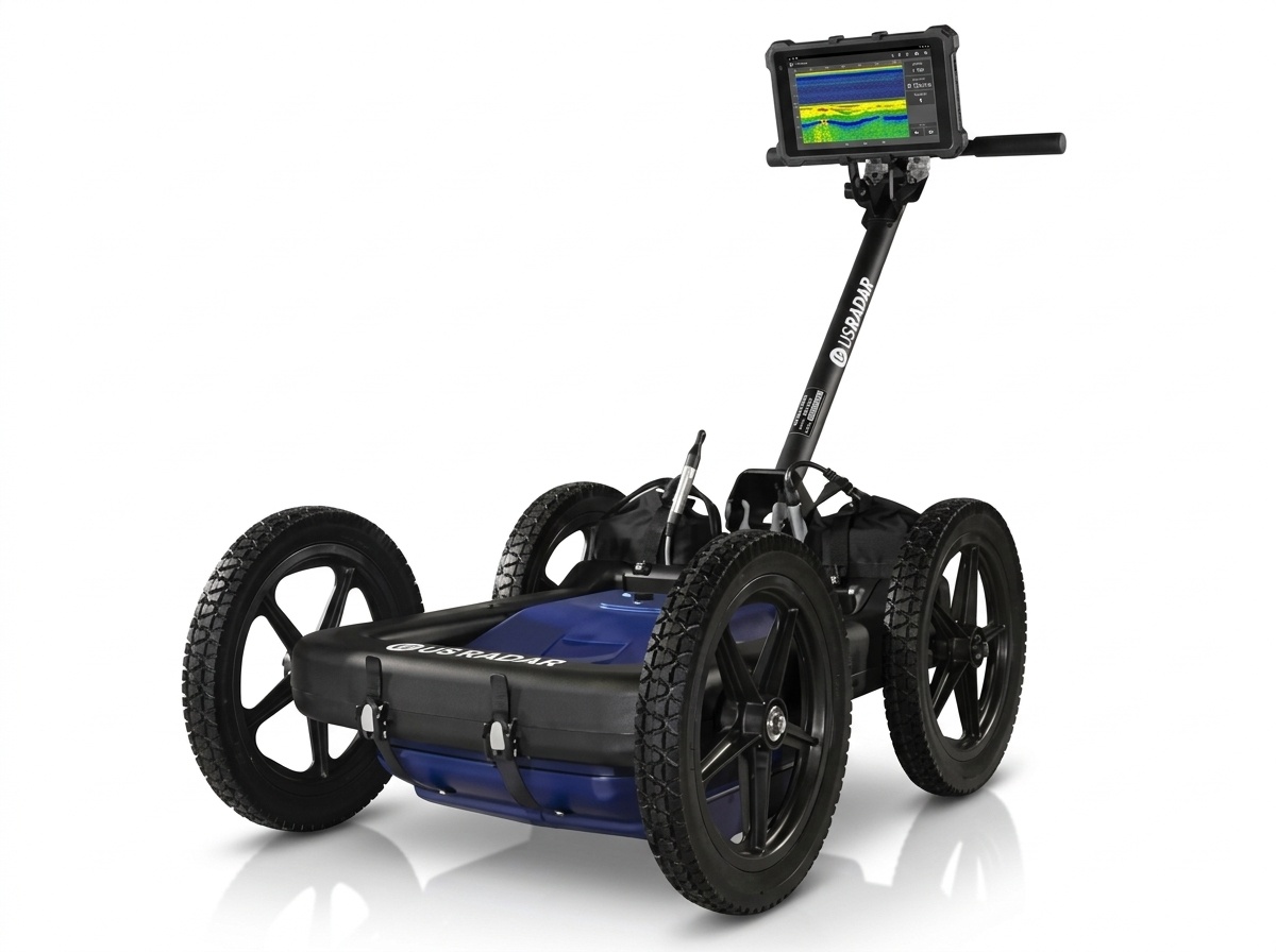
US Radar Quantum Imager Triple-Frequency GPR
Simultaneous 250/500/1000 MHz | GPS-Georeferenced CAD/GIS Export | Real-Time 3D Depth Slicing | Rugged All-Terrain Cart
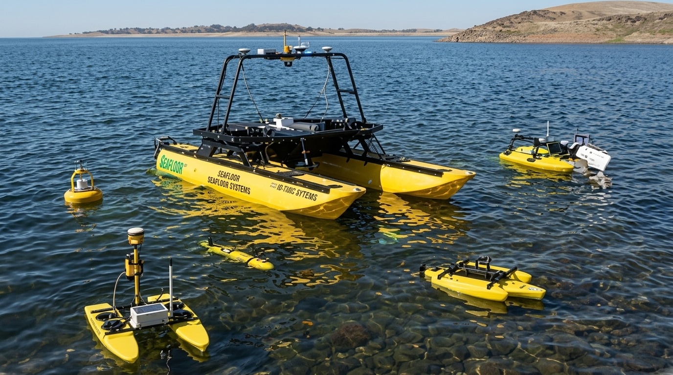
Seafloor EchoBoat Autonomous Survey USV
Autonomous Waypoint Navigation | RTK GNSS Integration | Siltation Volume Auditing | Removes Crew From The Water
Enterprise GIS & Spatial Data Infrastructure
Transform raw field survey points into authoritative spatial intelligence. As an Esri Silver Partner, we license, deploy, and support the full ArcGIS platform.
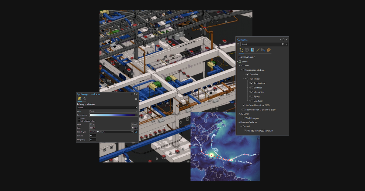
ArcGIS Pro
Advanced 2D/3D Spatial Analysis | Powerful Mapping & Visualization | Desktop Geoprocessing Automation | World's Leading GIS Software
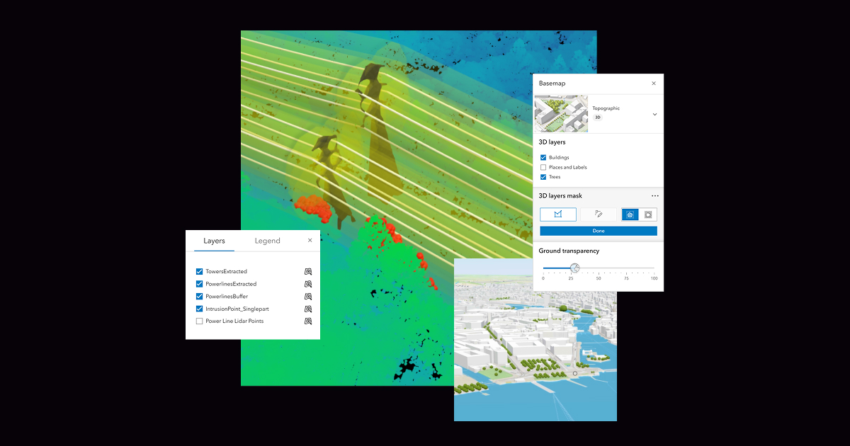
ArcGIS Enterprise
Self-Hosted GIS System | On-Premises, Cloud Or Hybrid | Centralized Spatial Data Management | Scalable Enterprise Architecture
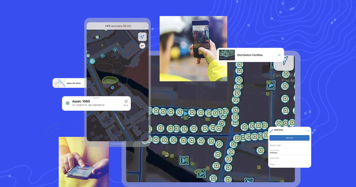
ArcGIS Field Maps
Mobile Field Data Collection | Real-Time Map Navigation | Mobile Workforce Management | Offline-Capable Data Capture
Also available: ArcGIS Online, Survey123, Utility Network, Dashboards & Drone2Map — view the full ArcGIS range.
Field Data Collection, CAD & Mine Design
Bridge field instruments directly to engineering deliverables with Carlson Software, Trimble Business Center, and Autodesk Civil 3D.
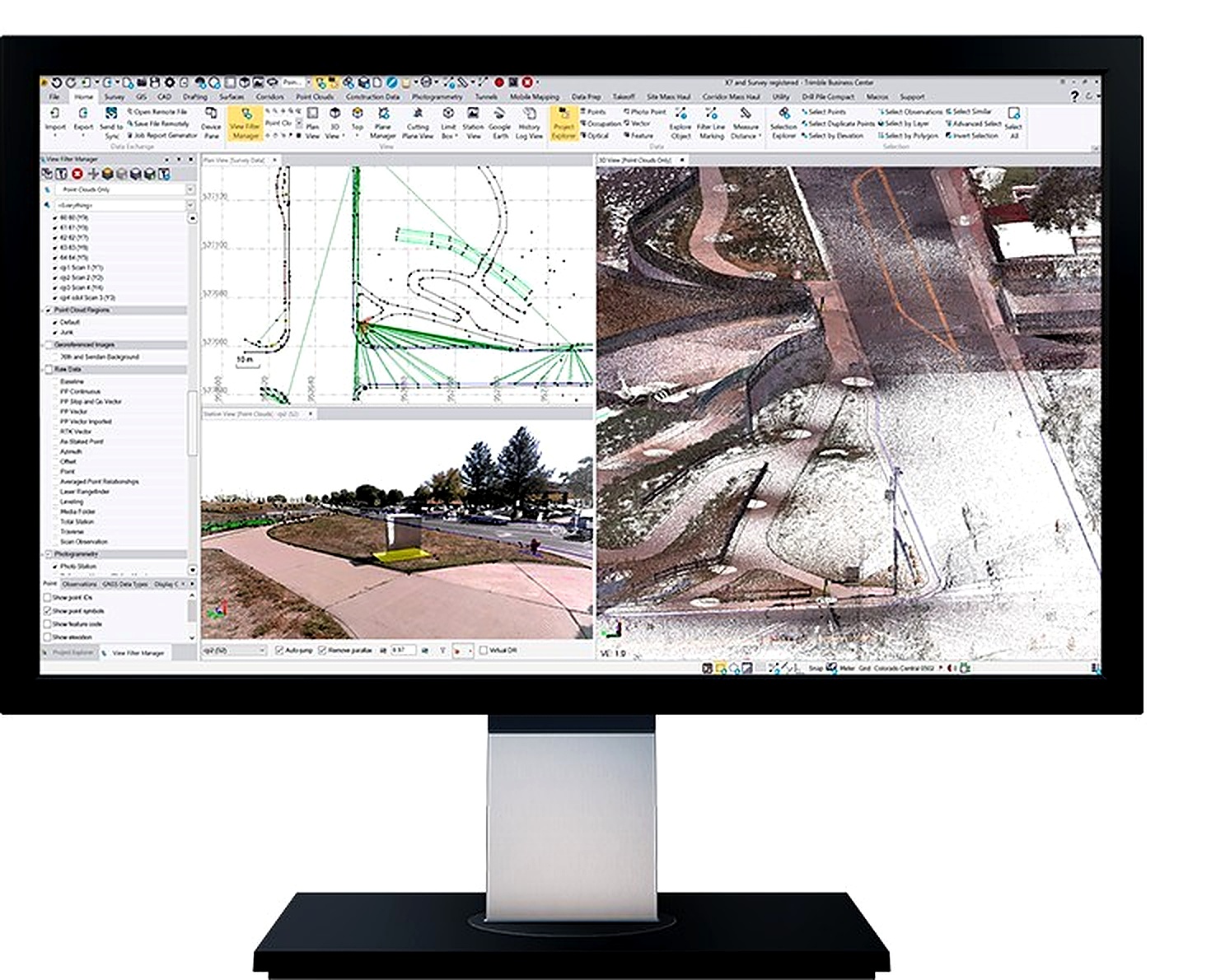
Trimble Business Center (TBC)
Field-To-Finish Workflow | Point Cloud & GNSS Data | Volumetric & Surface Tools | Direct CAD/GIS Export

Carlson SurvCE, Civil & Mining
Hardware-Independent Data Collection | Geological Block Modeling & Pit Design | Earthwork Cut/Fill Estimation | AutoCAD/IntelliCAD Compatible

AutoCAD Civil 3D
Dynamic 3D Corridor Modeling | Grading & Earthwork Analysis | Integrated Survey & Design Data | Automated Plan Production
Revit
Building Information Modeling | Coordinated Architectural & MEP Design | Parametric 3D Building Components | Construction Documentation
Also available: Navisworks, InfraWorks, ReCap Pro & BIM Collaborate — view the full Autodesk range.
Mine Geology & Resource Modelling Software
We supply Datamine’s geology and mine planning software suite — trusted for resource estimation, geological modelling, and open-pit optimisation.

Studio RM
True Reflection Of The Subsurface | Resource Modelling & Estimation | Geological Domain Interpretation | Block Model Development

Studio Geo
Geological Interpretation Environment | Implicit 3D Modelling | Structural & Stratigraphic Analysis | Seamless Studio RM Integration

Sirovision
Photogrammetry-Based Mapping | Rock Face & Pit Wall Imaging | Structural Geology Capture | Rapid Non-Contact Data Collection
Also available: Isatis.neo, Studio Mapper, Supervisor & Studio Maxipit — view the full Datamine range.
IT Infrastructure & Enterprise Data Archive
Servers, structured cabling, and IBM tape storage for long-term retention and air-gapped, cyber-resilient backup — the infrastructure layer behind your spatial data.
IT Infrastructure & System Integration
Enterprise Server Clustering & DR | Structured Cabling & Fiber | GIS/ERP Integration | SLA-Backed Managed Support
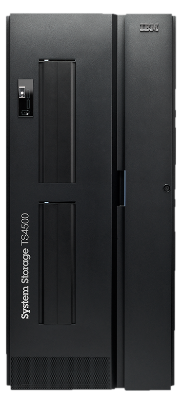
IBM TS4500 Tape Library
Next-Generation Cloud Storage | Up To 926PB With LTO 10 | Integrated Fleet Management | High Storage Density

IBM TS2900 Tape Autoloader
Low-Profile Entry-Level Storage | Up To 162TB With LTO 9 | Supported On Open System Platforms | Cost-Effective Long-Term Retention
Also available: TS4300, TS7700 Virtual Tape, TS1170 Enterprise Drive & IBM Storage Archive — view the full IBM Tape range.
Comprehensive Services & Certified Lifecycle Support
Our relationship begins when you acquire your system. Through our certified calibration laboratory, 24/7 technical HelpDesk, and hands-on Training Academy, we guarantee maximum equipment productivity and field uptime.
Certified Service & Calibration Centre
Our Kampala facility is equipped with optical collimators and electronic distance meter (EDM) baseline test benches to service and calibrate optical total stations, GNSS rovers, and levels.
- Multi-collimator baseline optical adjustment
- Laser EDM distance accuracy verification
- Genuine OEM replacement parts & seals
- Traceable calibration certificates issued
Technical Support HelpDesk
Dedicated telephone, WhatsApp, and remote desktop support for field crews troubleshooting geoid coordinate systems, controller firmware, or drone flight planning in real time.
- Direct telephone & field engineer assistance
- Trimble Access & controller software upgrades
- Local coordinate system & geoid file setup
- Fast problem turnaround to prevent downtime
Phirez Training Academy
Structured, blended learning combining classroom theory with hands-on field practicals to turn your staff into certified operators of GNSS, drones, and ArcGIS systems.
- RTK GNSS & Robotic Total Station practicals
- Commercial Drone Pilot & LiDAR post-processing
- ArcGIS Pro, Enterprise & Field Maps courses
- Custom corporate in-house upskilling
Contract Survey & Engineering
Our licensed surveyors and geodesists execute turn-key high-consequence field campaigns across Uganda and the region when internal capacity is constrained.
- Primary geodetic control networks & CORS
- Corridor drone LiDAR & photogrammetry mapping
- Bathymetric hydrographic sounding surveys
- Underground utility detection with GPR
Spatial Data Infrastructure (SDI)
Deploying centralized enterprise GIS repositories, secure cloud geodatabases, and real-time telemetry pipelines connecting field teams to executive decision makers.
- National & municipal SDI architecture
- Enterprise geodatabase modeling & security
- Real-time vehicle & IoT sensor tracking
- Legacy database migration & cleansing
Phirez Technology Assurance Plan
Service level agreements (SLAs) designed to guarantee continuous productivity, priority repair queueing, and temporary loaner units during scheduled instrument servicing.
- Guaranteed loaner equipment during major service
- Annual preventative maintenance & calibration
- Priority HelpDesk response with SLA commitments
- Firmware maintenance & warranty protection
Authorised Products & Technology Partners
We are proud distributors and solution partners for the world's most trusted manufacturers.






Not Sure Which Technology Fits Your Requirements?
Our application engineers work with your team to review project specifications, recommend optimal hardware/software combinations, and arrange on-site demonstrations.