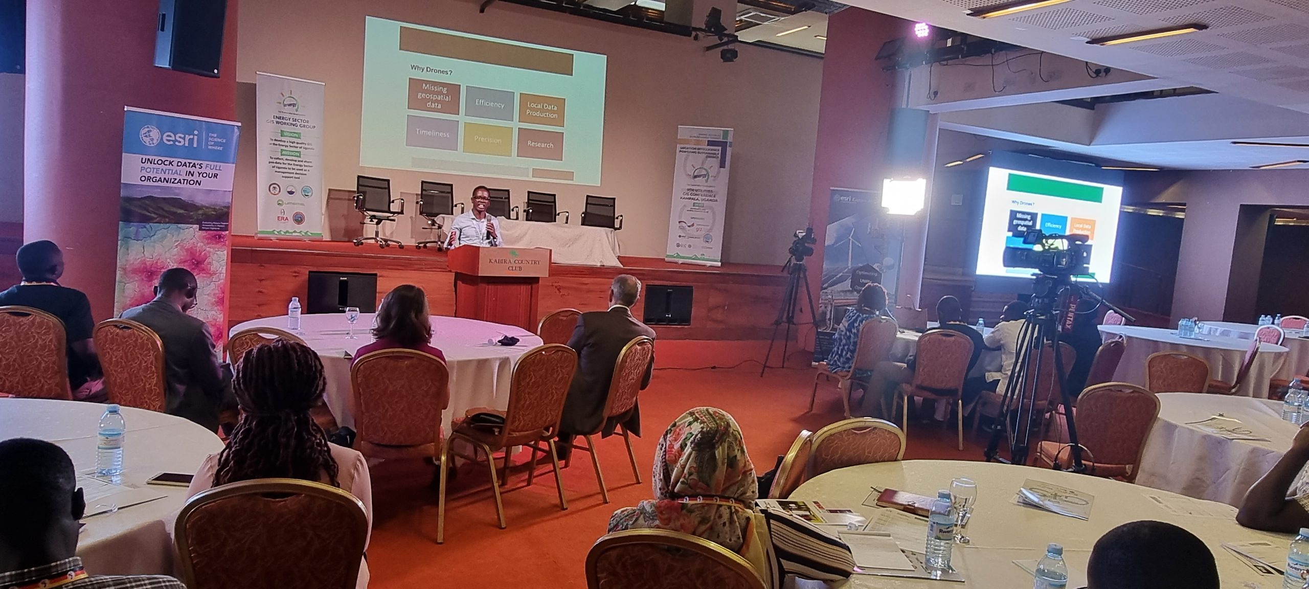
Enterprise GIS & Spatial Data Infrastructure With Esri ArcGIS
Phirez is an Esri Silver Partner delivering the complete ArcGIS platform across Uganda and East Africa — from desktop analysis and enterprise server deployment to mobile field data collection for government, utility, and humanitarian programmes.
The Complete ArcGIS Platform
From desktop analysis to enterprise deployment and mobile field collection, we license, implement, and support the full ArcGIS system of engagement for your organisation.
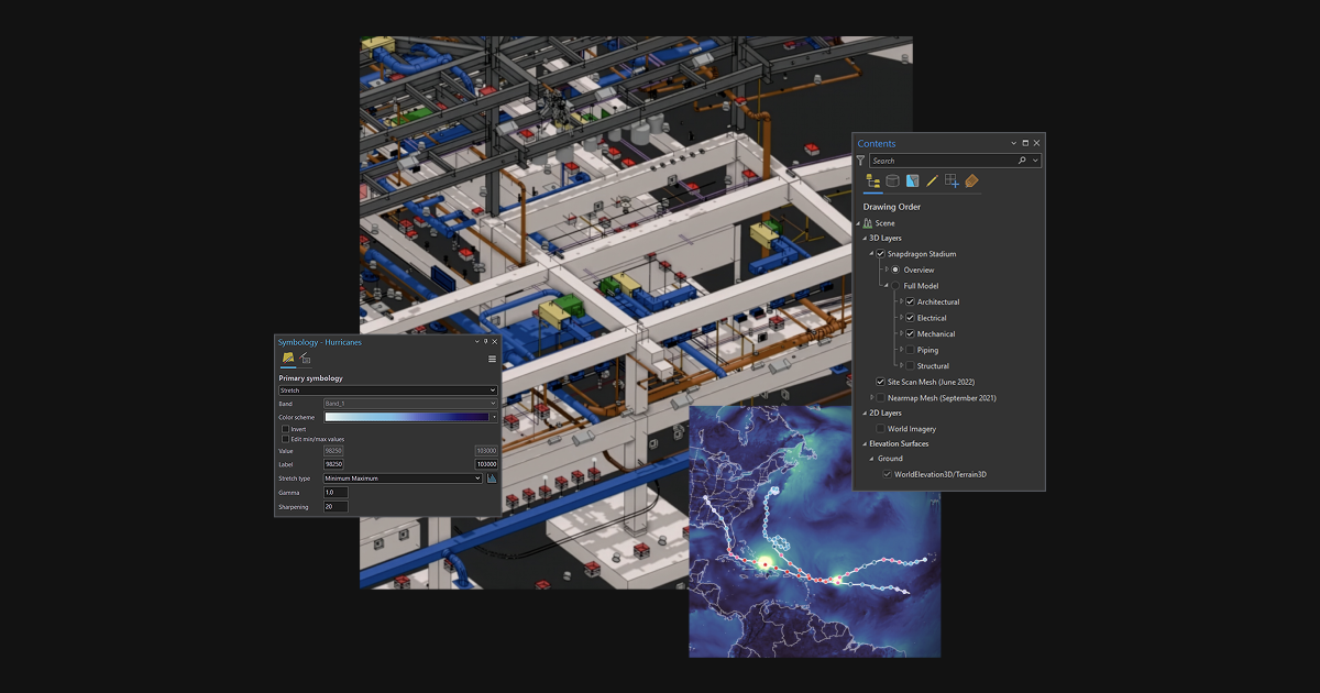
ArcGIS Pro
Advanced 2D/3D Spatial Analysis | Powerful Mapping & Visualization | Desktop Geoprocessing Automation | World's Leading GIS Software
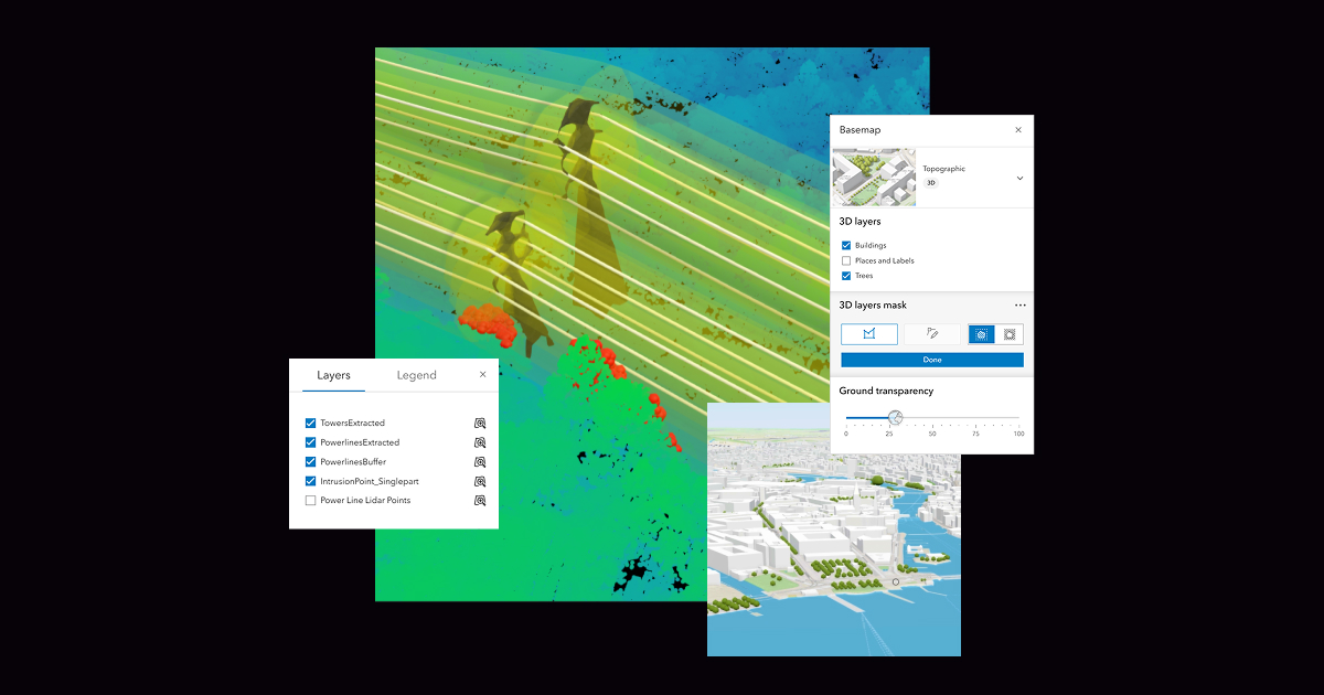
ArcGIS Enterprise
Self-Hosted GIS System | On-Premises, Cloud Or Hybrid | Centralized Spatial Data Management | Scalable Enterprise Architecture
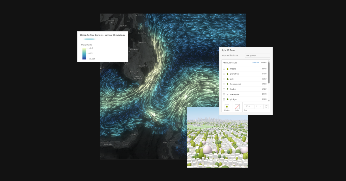
ArcGIS Online
Complete SaaS Mapping Platform | No Installation Required | Create & Share Interactive Maps | Runs Entirely In Your Browser

ArcGIS Field Maps
Mobile Field Data Collection | Real-Time Map Navigation | Mobile Workforce Management | Offline-Capable Data Capture
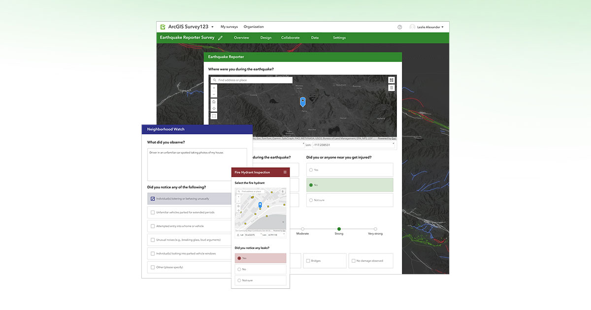
ArcGIS Survey123
Intuitive Smart Form Builder | High-Quality GIS Data Surveys | Easy-To-Use Data Collection | Automated Data Validation
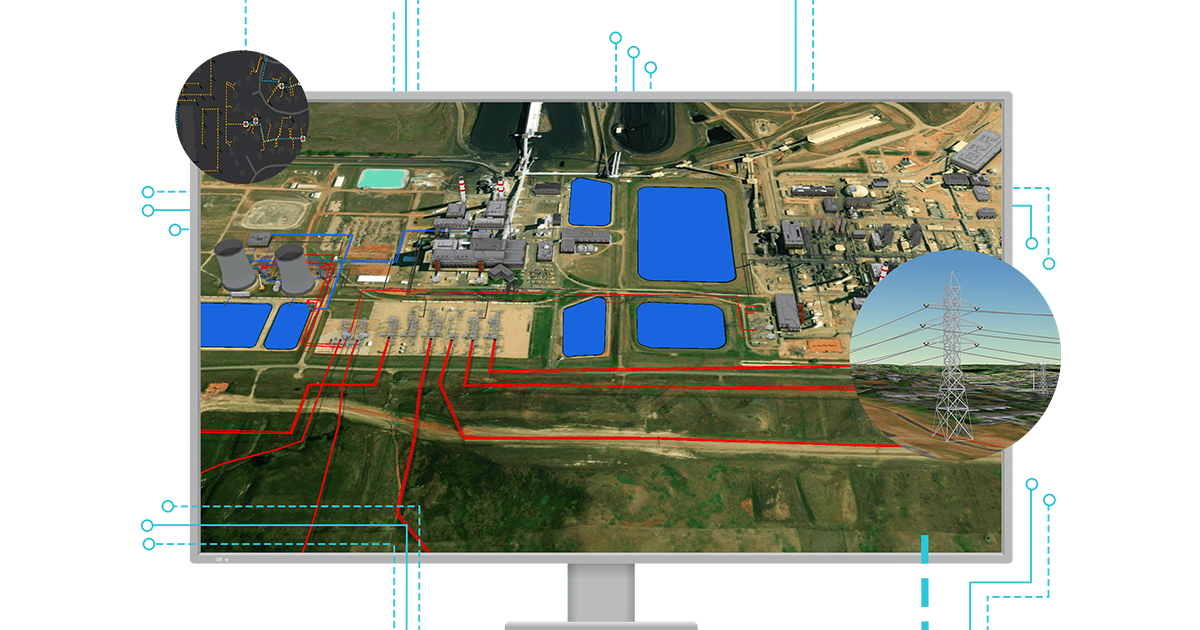
ArcGIS Utility Network
Models Complex Utility Networks | Advanced Asset Tracing & Analysis | Built For Power, Water & Telecom | Enterprise-Grade Reliability
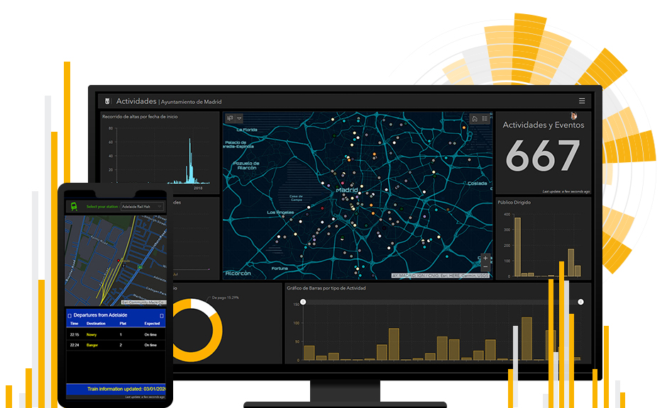
ArcGIS Dashboards
Operational & Strategic Dashboards | Real-Time Data Visualization | Tailored To Your Audience | Easy Results Sharing
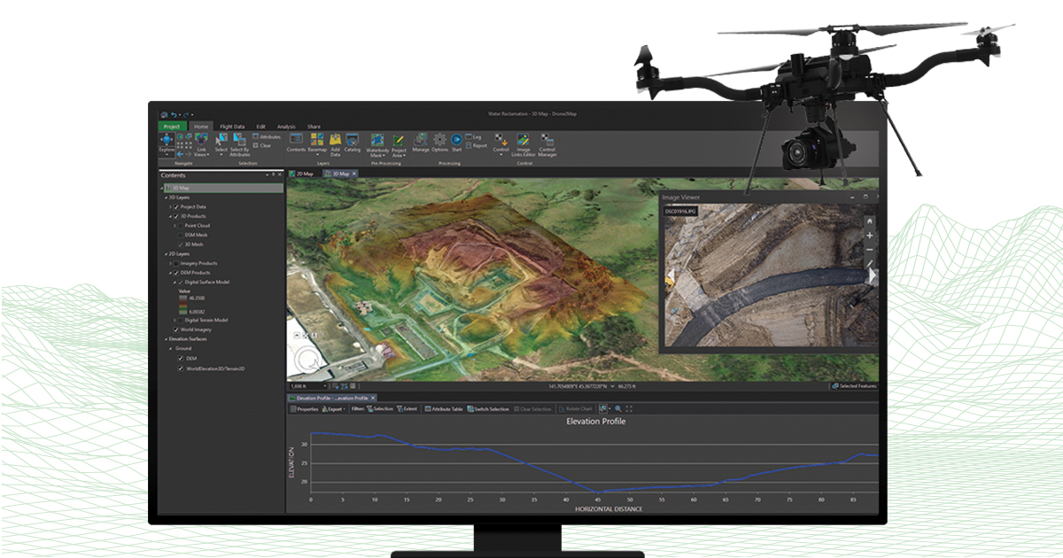
ArcGIS Drone2Map
2D & 3D Drone Photogrammetry | Desktop GIS Drone Mapping | Seamless ArcGIS Integration | Fast Orthomosaic Processing
Licensed, Deployed & Supported Locally
As an Esri Silver Partner, we don’t just sell licenses — we architect, deploy, and support your GIS investment for the long term.
Enterprise GIS Deployment
Centralized corporate GIS portals with role-based security, spatial geodatabase design, and migration from legacy desktop GIS.
- Multi-user geodatabase design (PostGIS, SQL Server, Oracle)
- Role-based portal security & governance
- Legacy system migration & data conversion
Mobile Field Operations
Configure Field Maps and Survey123 for asset inspection, humanitarian needs assessments, and mobile workforce dispatch across disconnected sites.
- Offline-capable smart form design
- High-accuracy GNSS metadata capture
- Field crew training & rollout support
Esri Training Academy
Structured ArcGIS Pro, Enterprise, and Field Maps courses delivered by certified Phirez GIS trainers.
- ArcGIS Pro fundamentals & spatial analysis
- ArcGIS Enterprise administration
- Custom corporate GIS upskilling
Ready To Build Your Spatial Data Infrastructure?
Our GIS architects help you scope the right ArcGIS licensing tier and deployment model for your organisation’s scale and budget.