Our Work In The Field
GNSS control surveys, drone mapping flights, precision-agriculture demonstrations and industry events — a look at how our team delivers geospatial and IT solutions on the ground across Uganda.
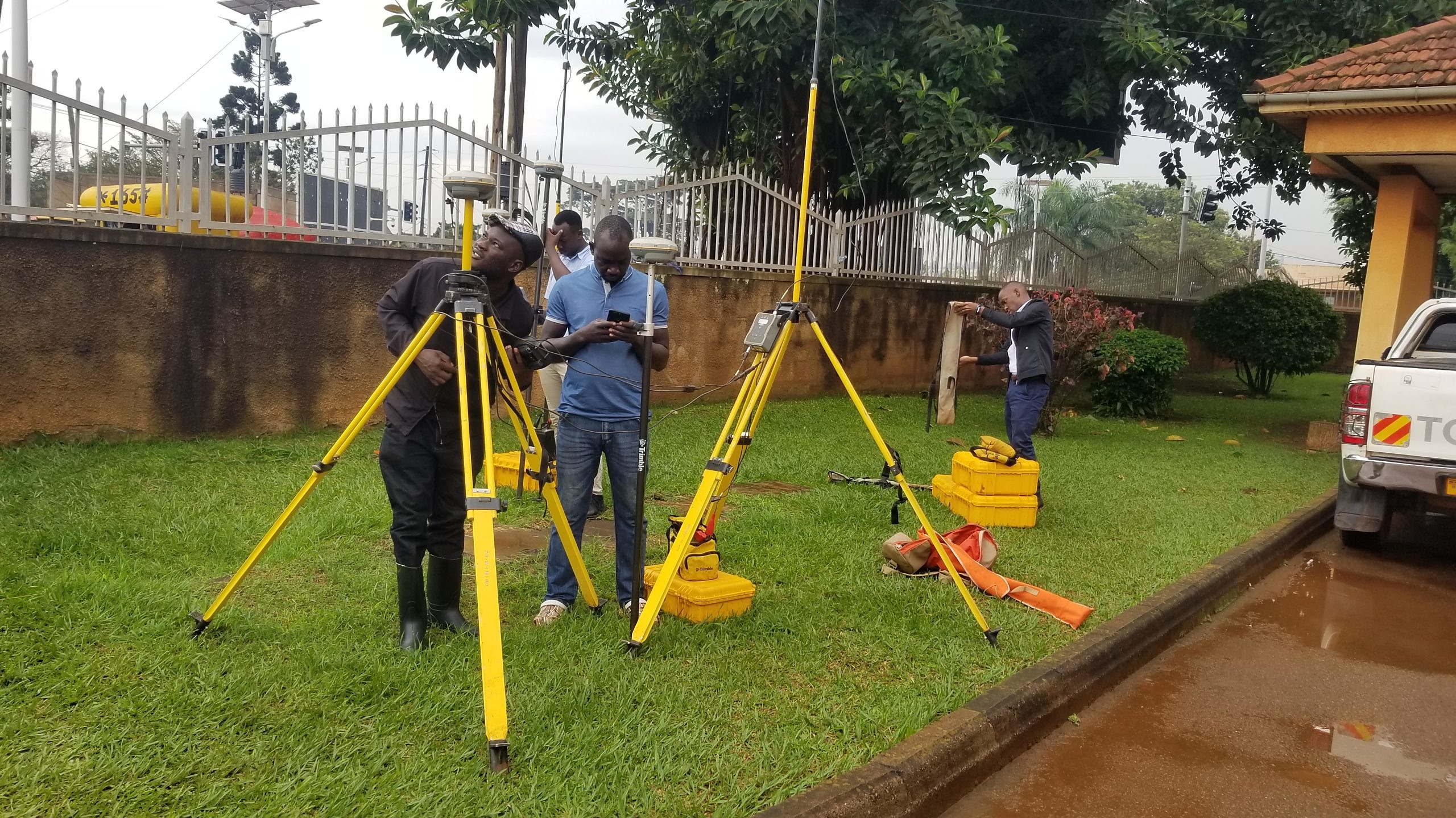
Setting up dual-frequency GNSS base and rover receivers for a control survey.
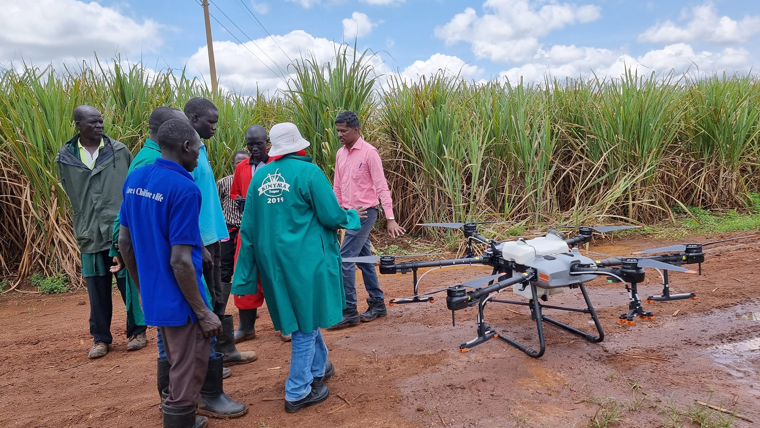
Demonstrating agricultural spray-drone technology to farm workers at a sugarcane plantation.
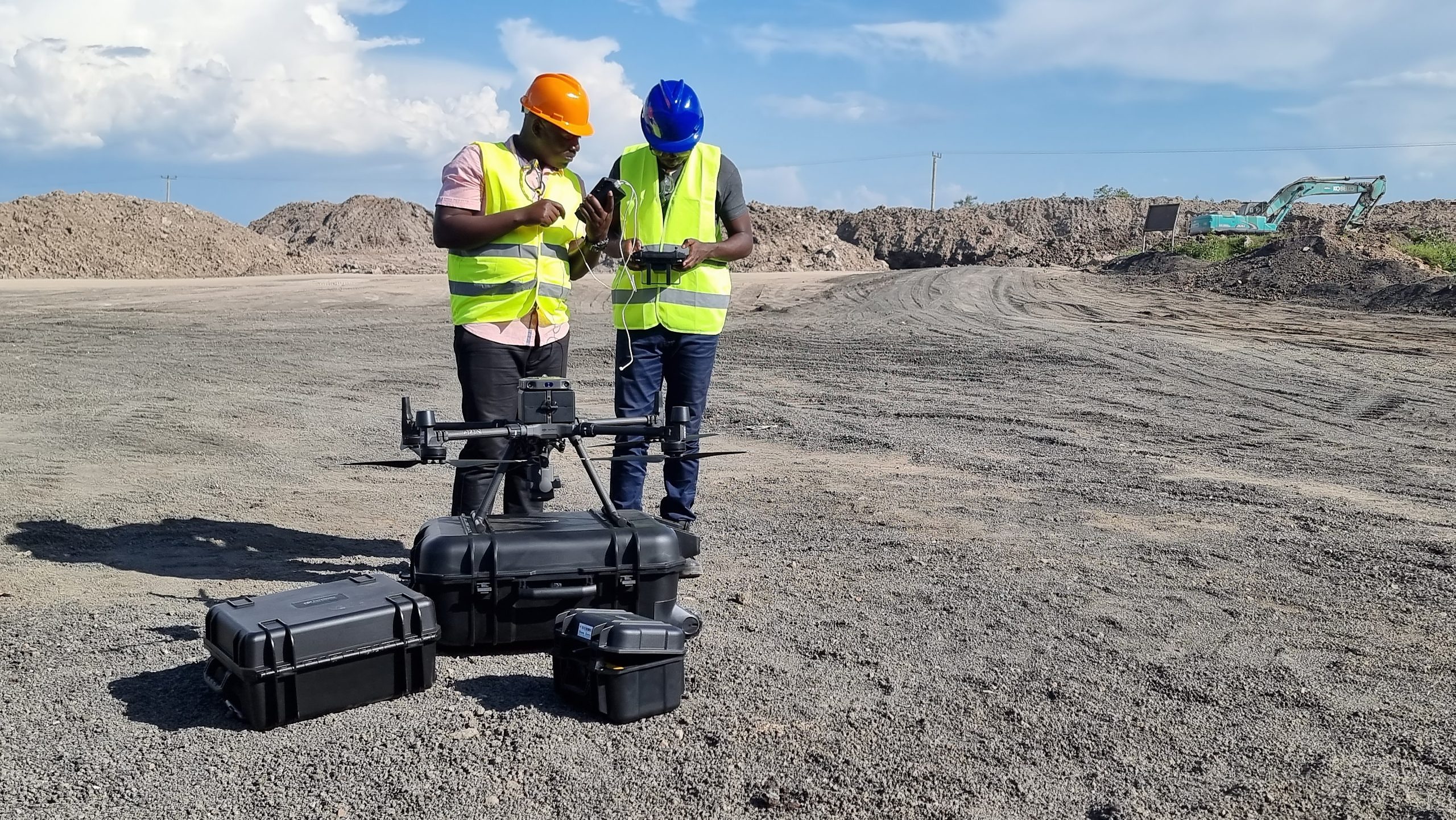
Reviewing a flight plan before an aerial survey of a quarry and earthworks site.
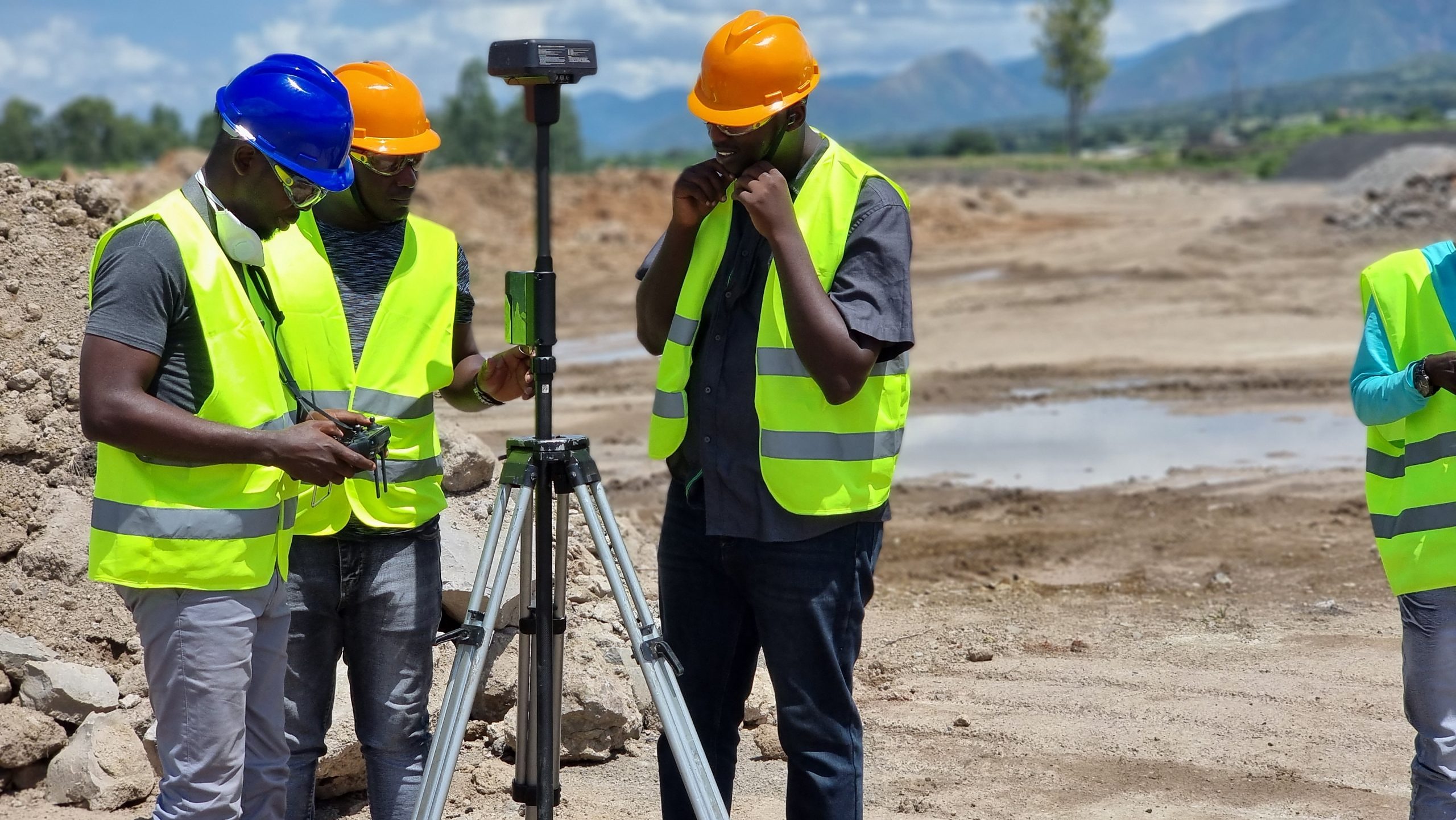
Setting up a GNSS rover for a topographic survey on a construction site.
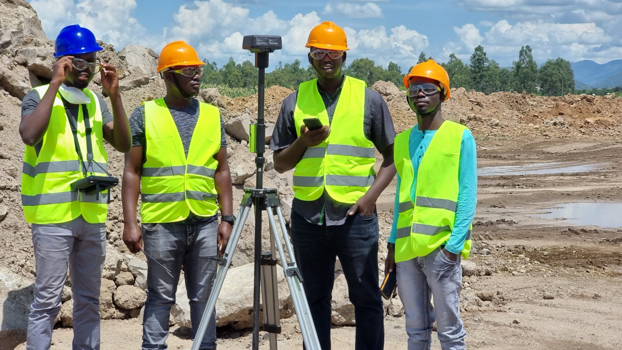
The survey team reviewing coordinates captured on-site with RTK GNSS equipment.
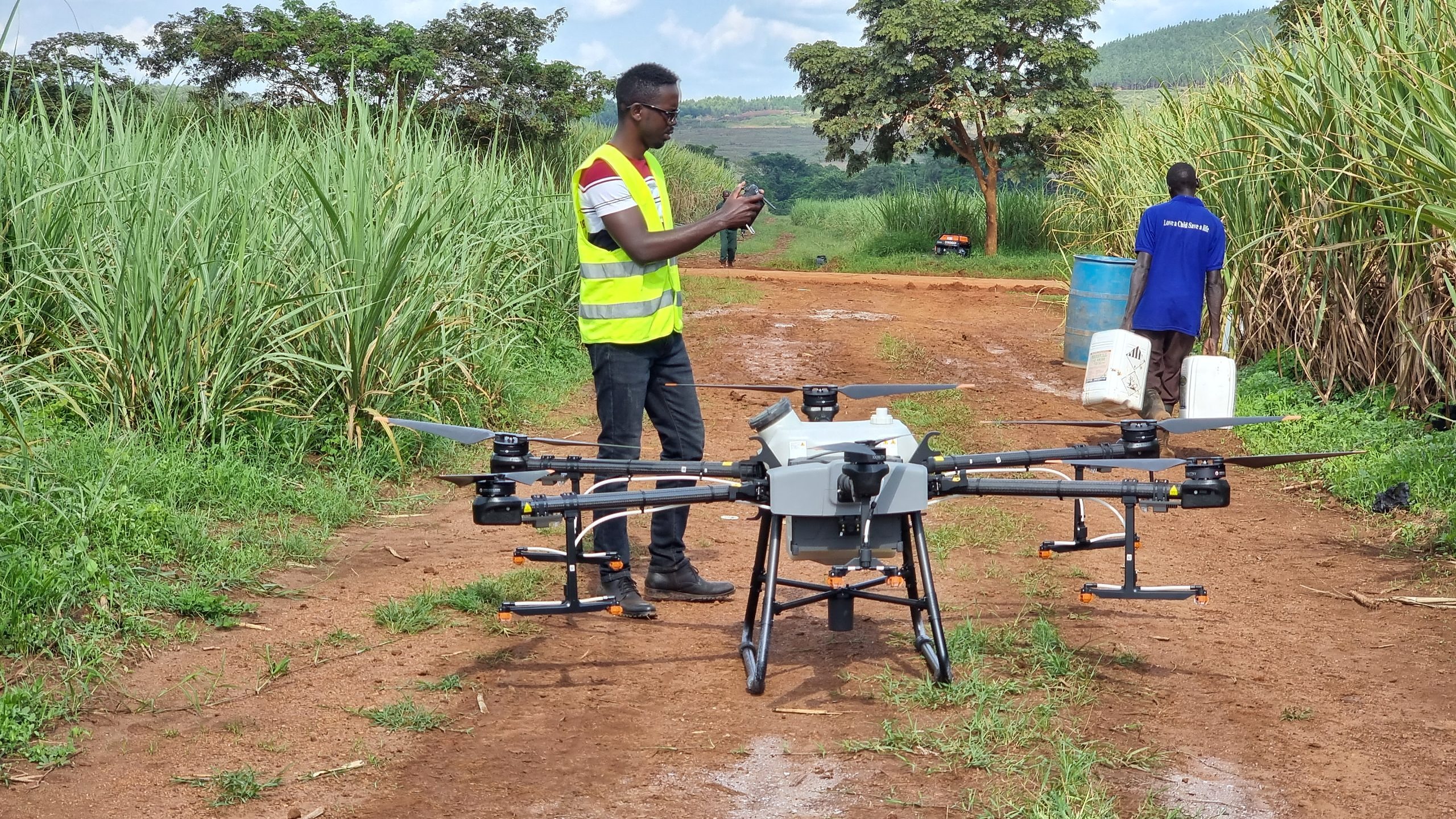
An agricultural spray drone staged on a farm access road ahead of a demonstration flight.
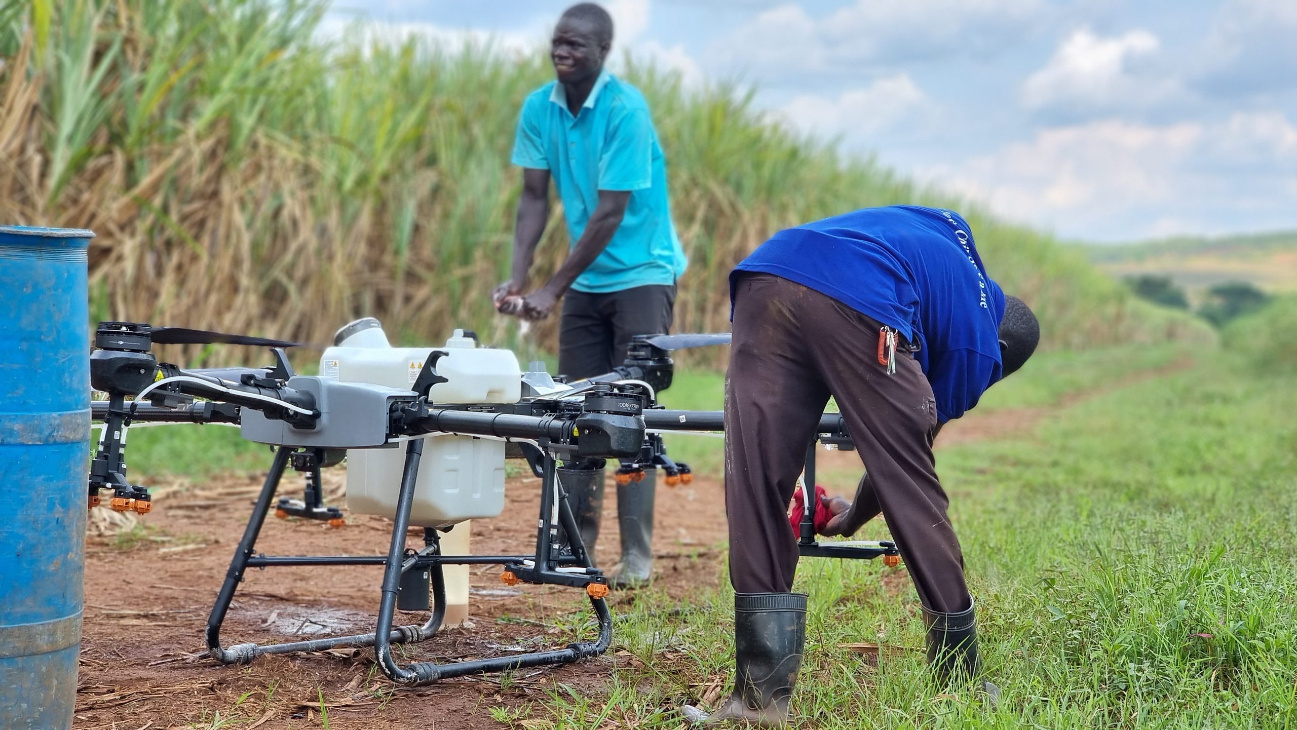
Technicians preparing an agricultural spray drone for a field application run.
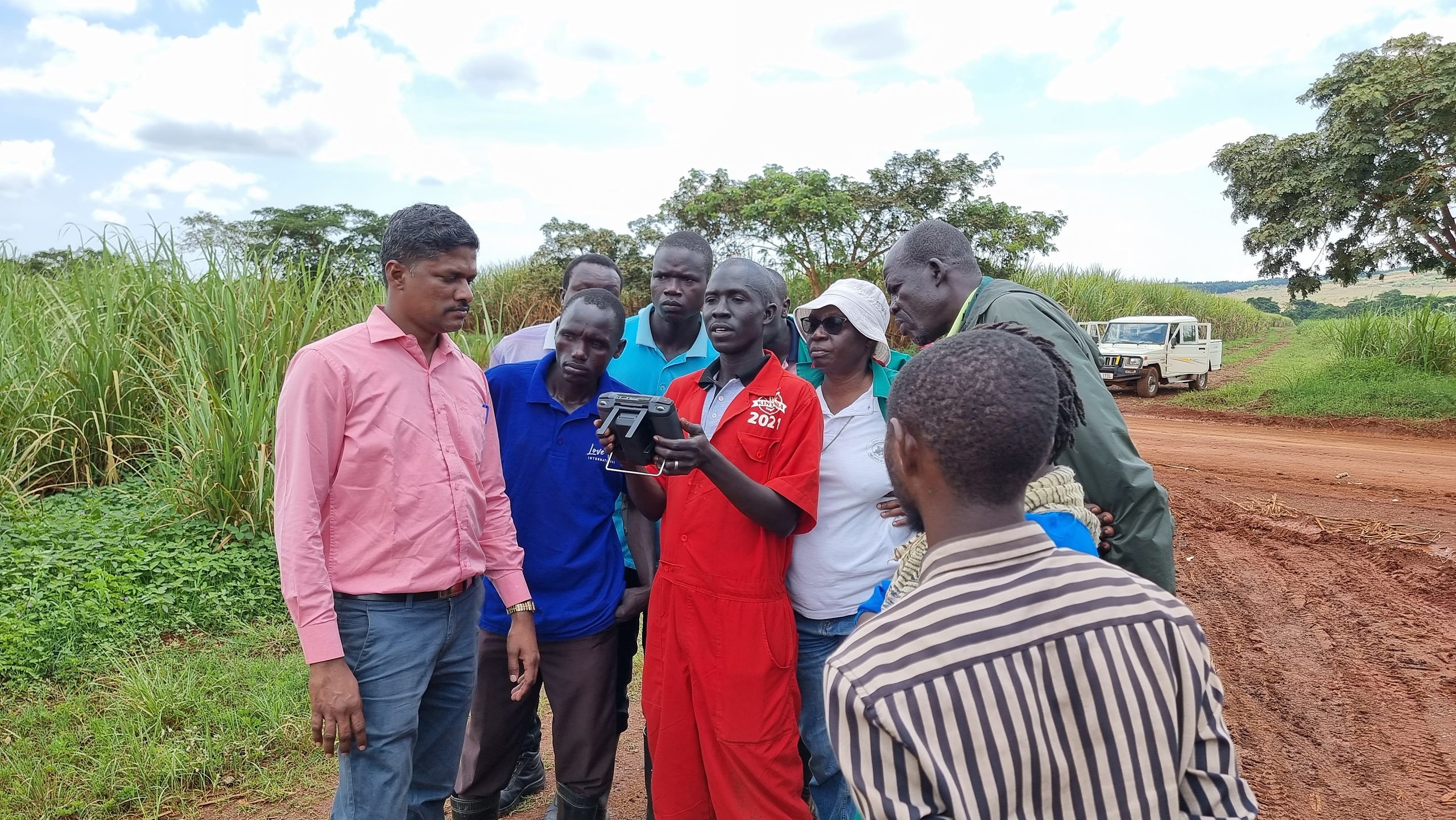
Reviewing flight data with farm staff during a precision-agriculture demonstration.
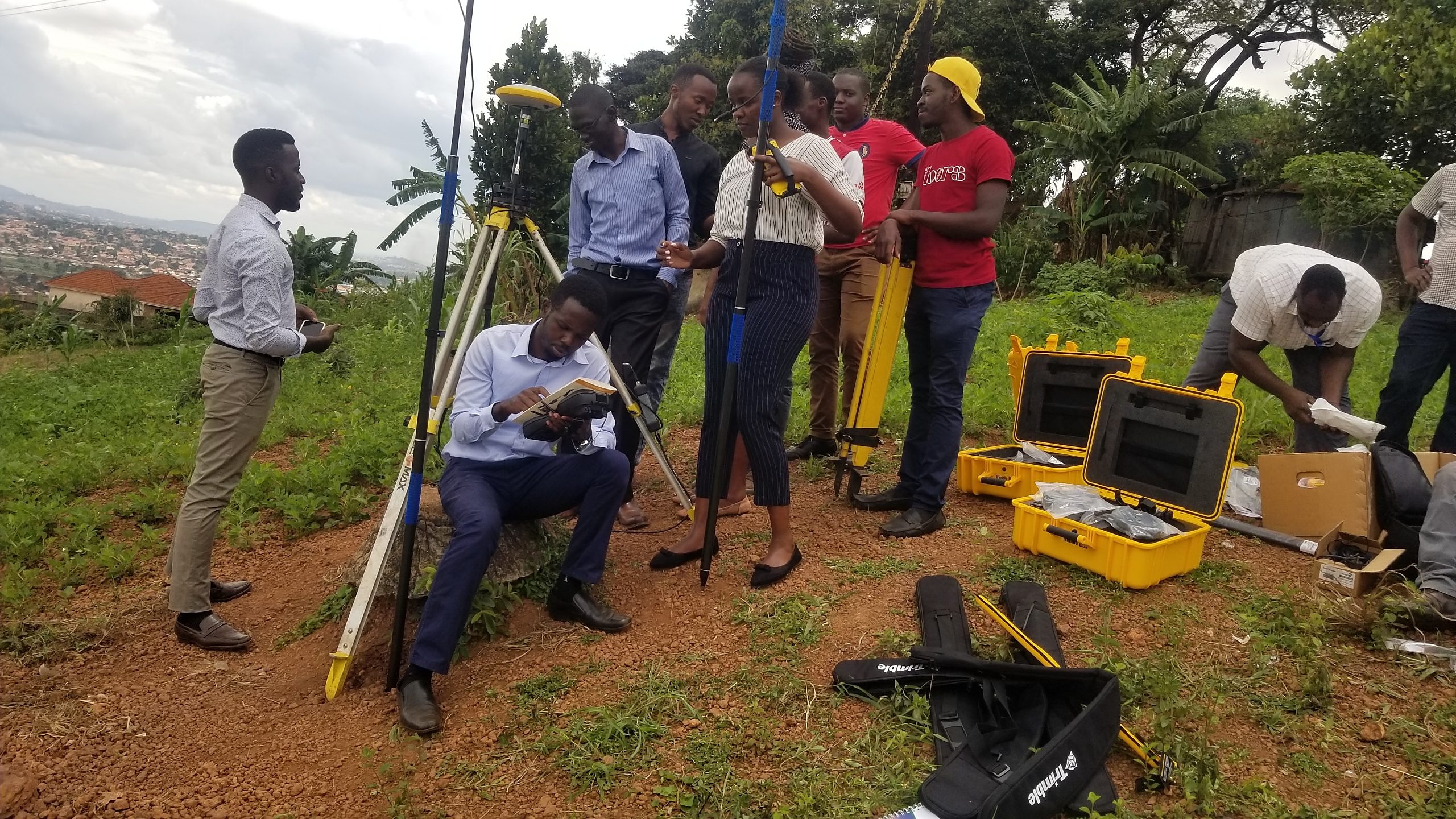
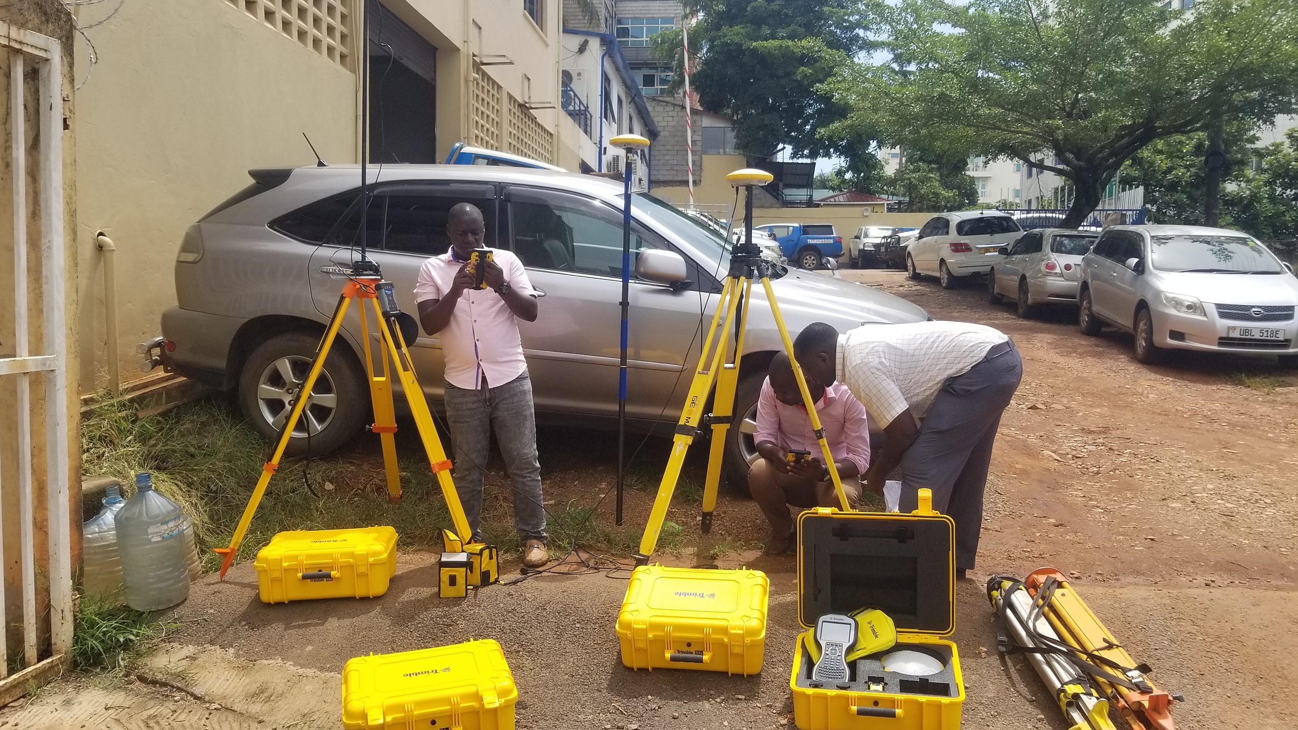
Unpacking and demonstrating Trimble GNSS kit during a field training session.
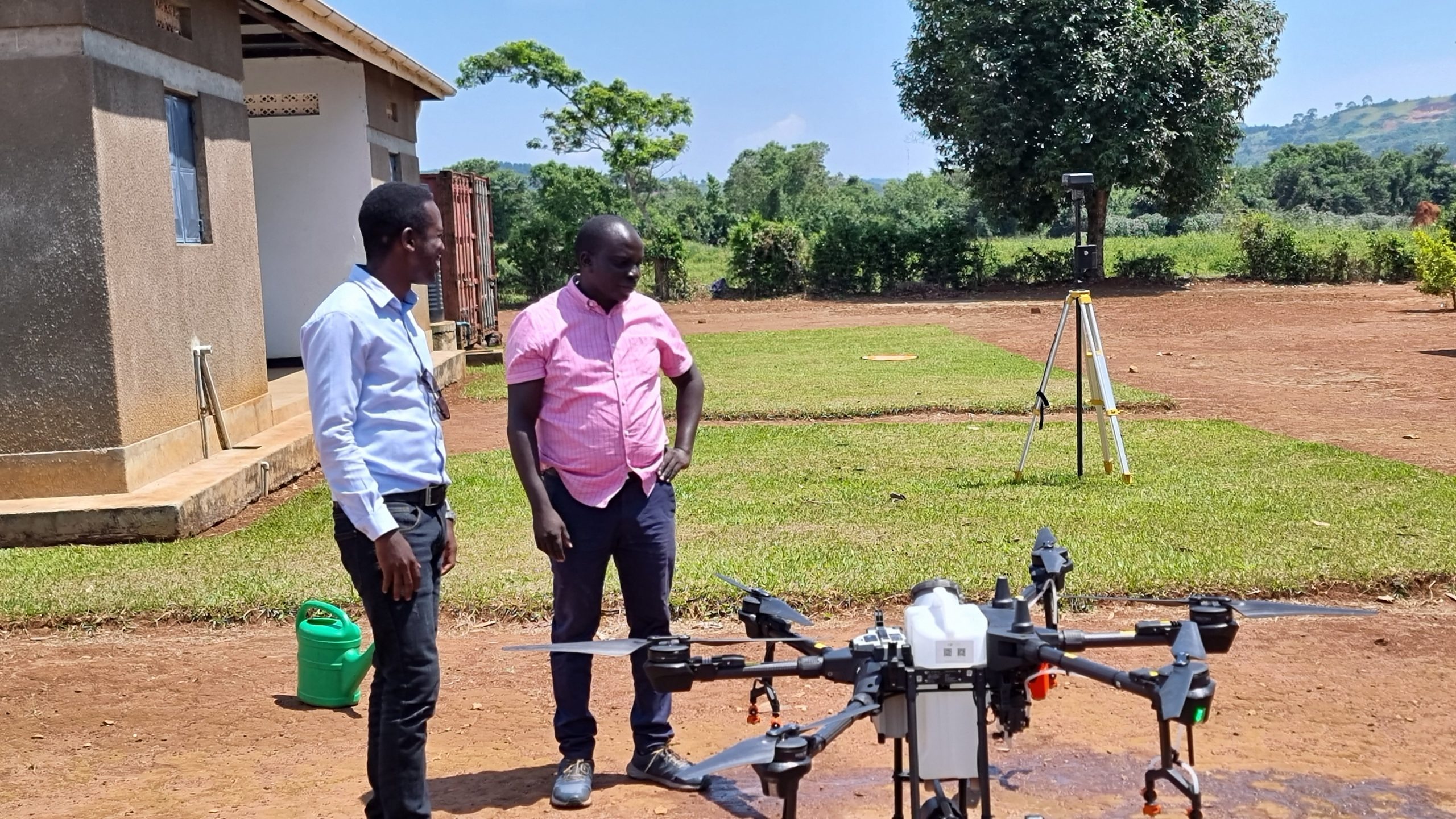
Preparing a drone for a demo flight, with a GNSS base station running alongside.
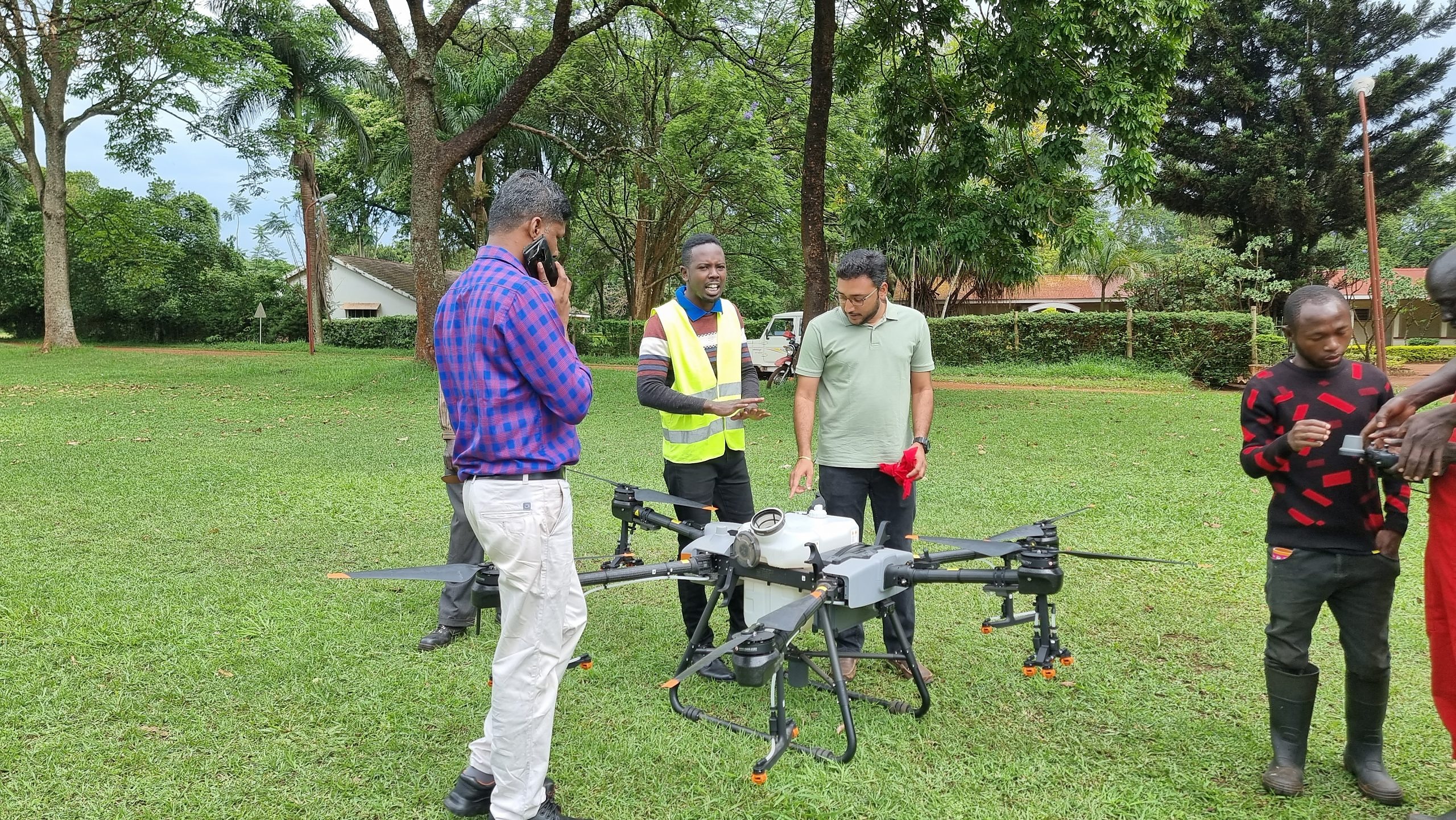
Piloting an agricultural drone along a farm access track during a field run.
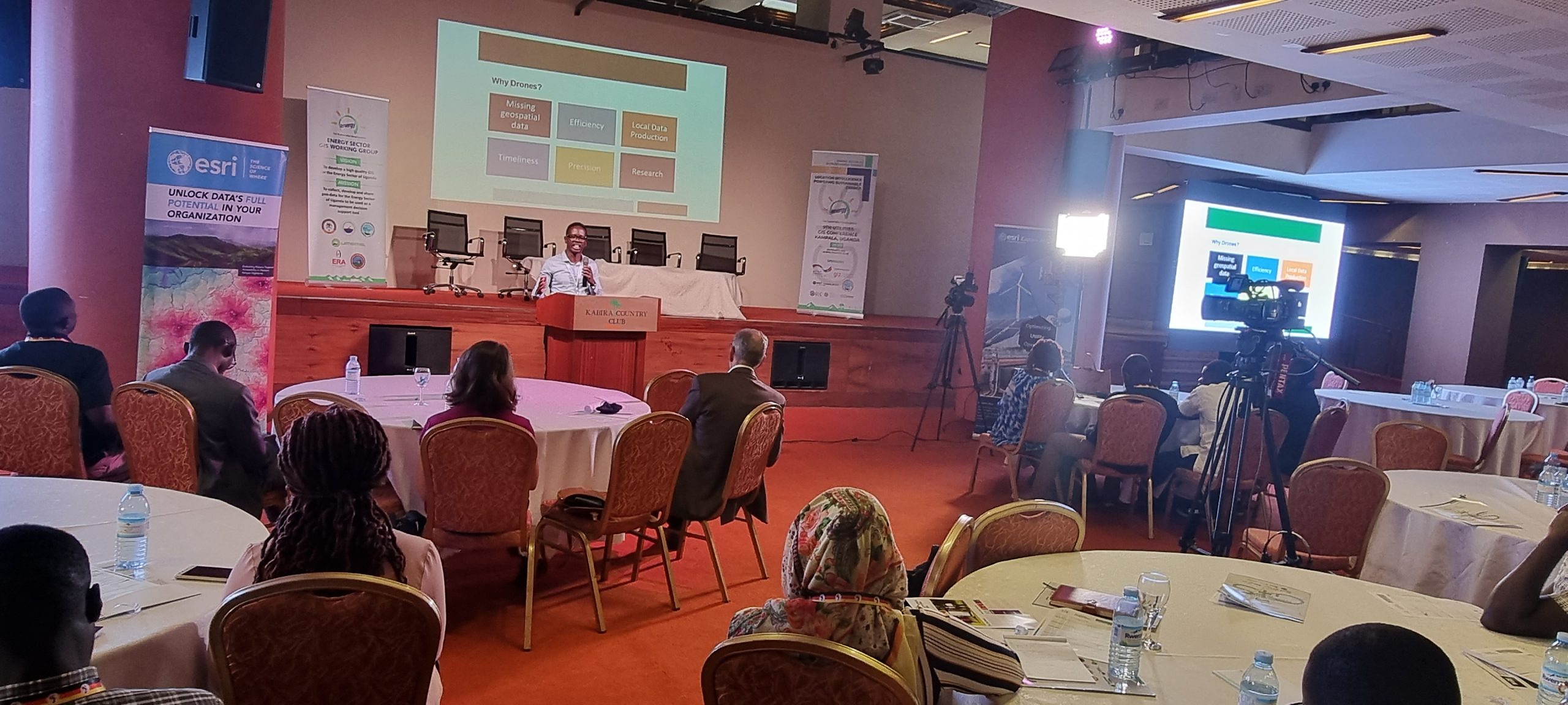
Presenting on drone data collection at a GIS industry conference in Kampala.
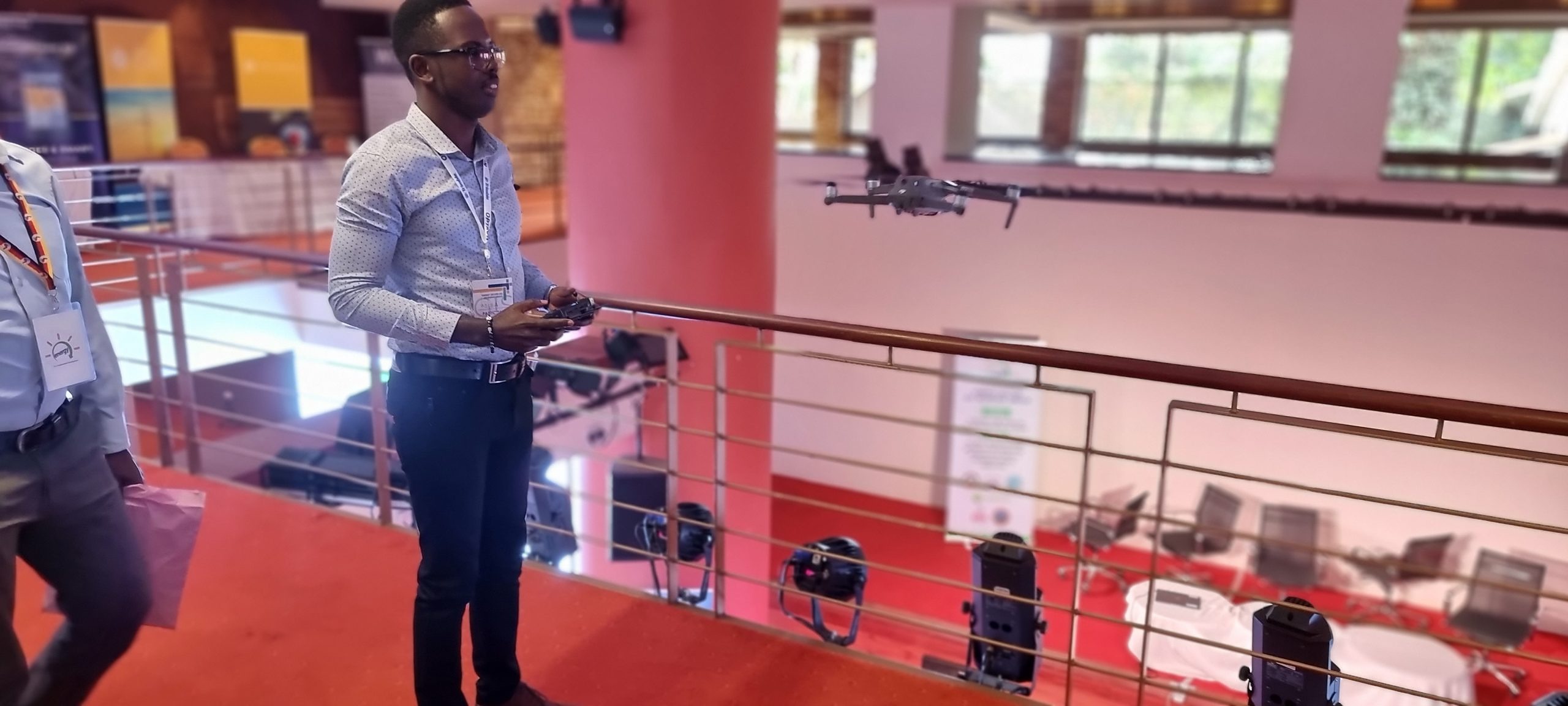
Flying an indoor demo flight to showcase drone handling at a conference venue.
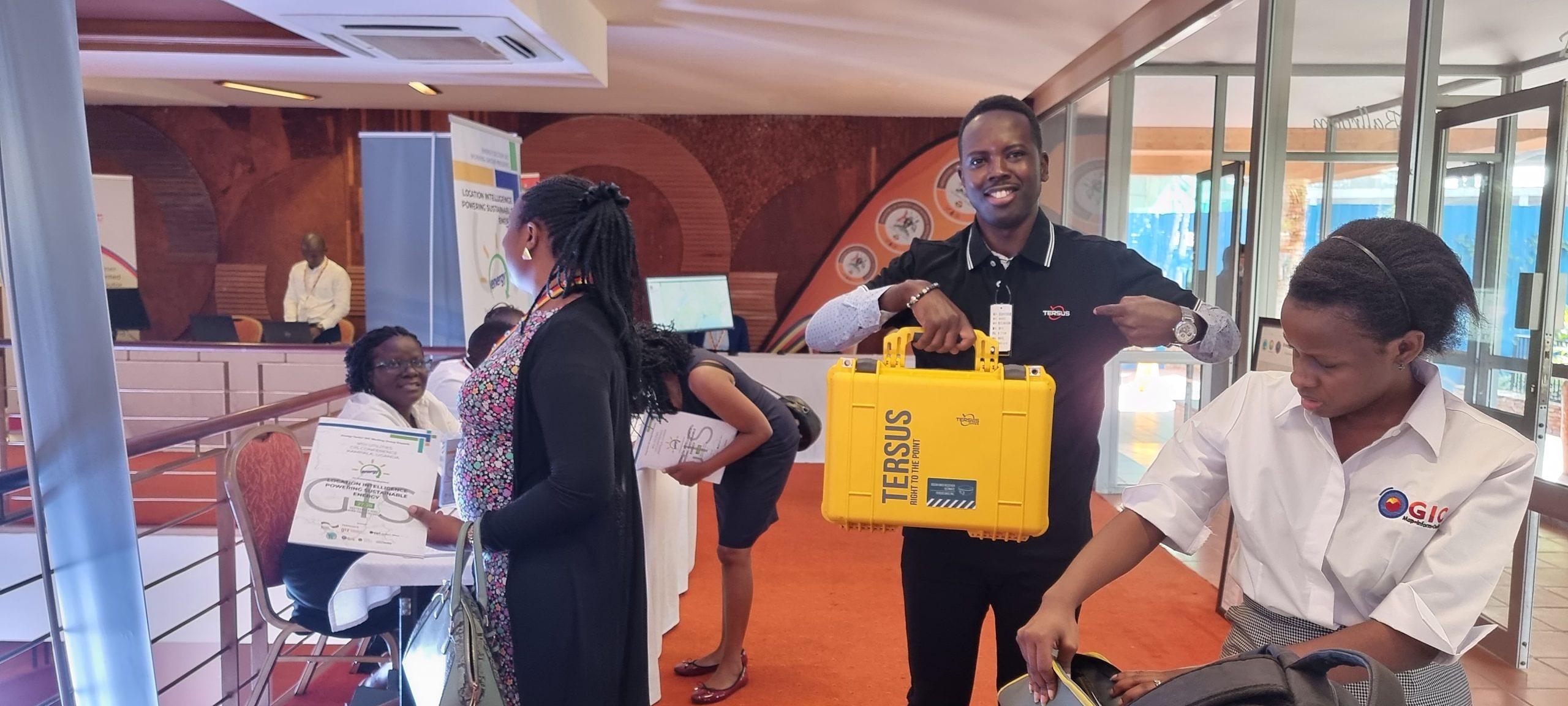
GNSS survey kits staged beside the vehicle before deployment to a field site.
Connecting with industry peers at a location-intelligence conference in Kampala.
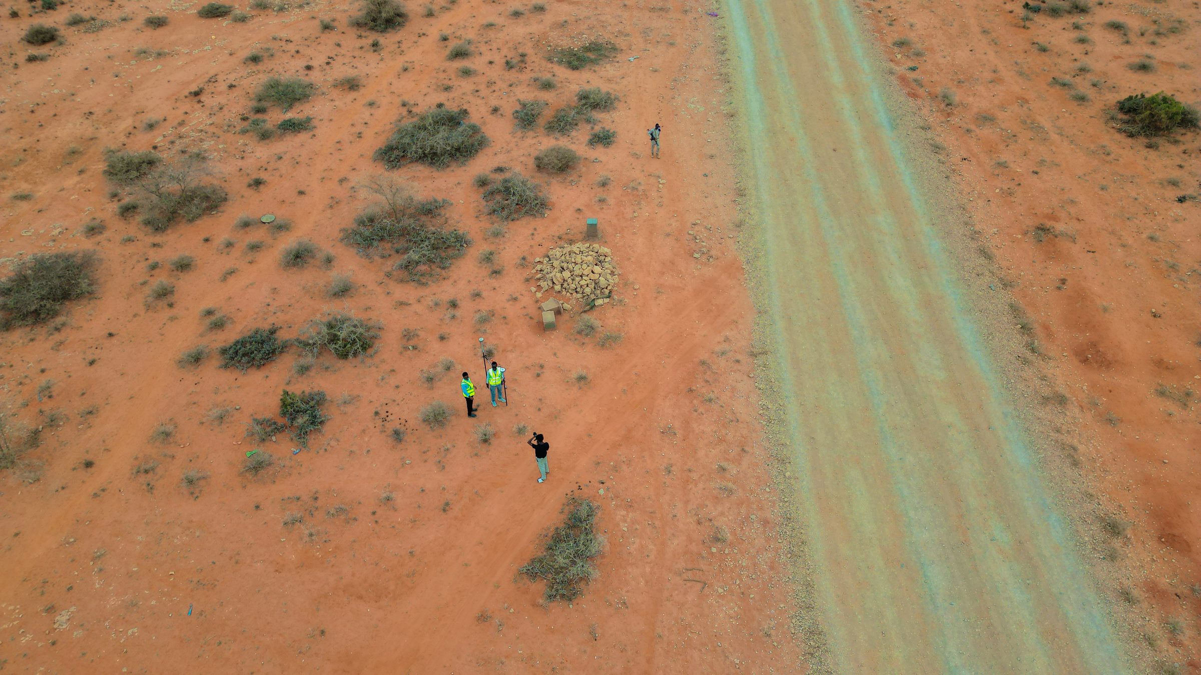
An aerial view captured mid-survey, showing the crew and GNSS kit from the drone's perspective.
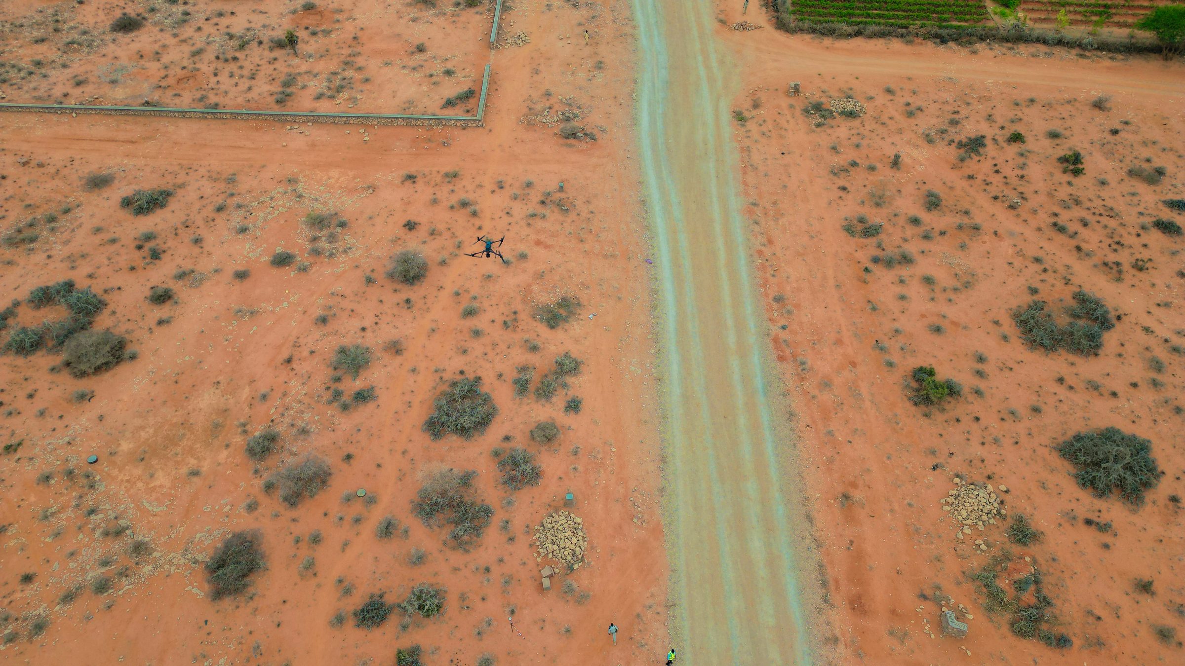
A mapping flight's-eye view of the access road and surrounding terrain.
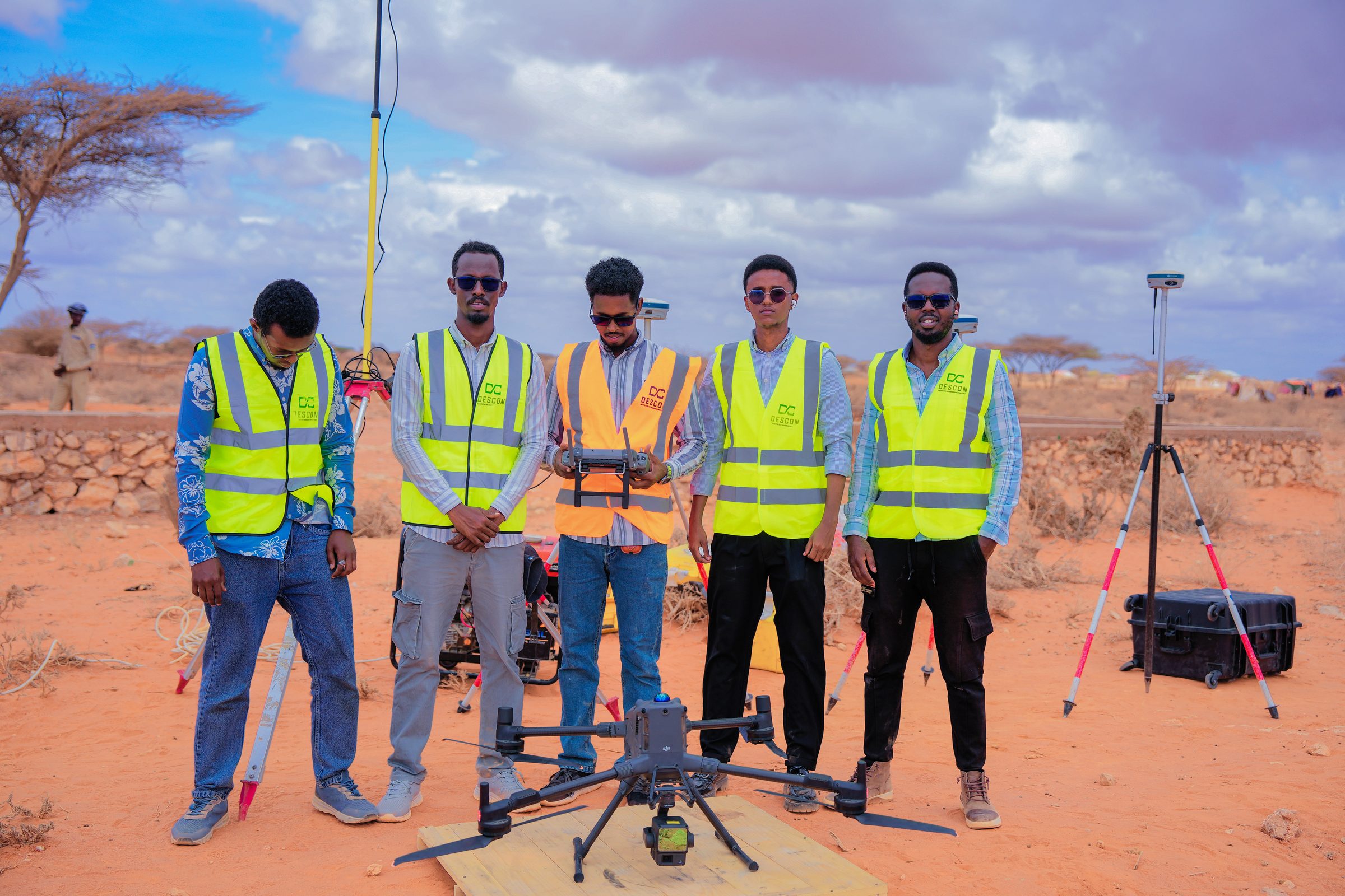
The drone survey team, deployed in partnership with DESCON, ahead of a mapping flight.
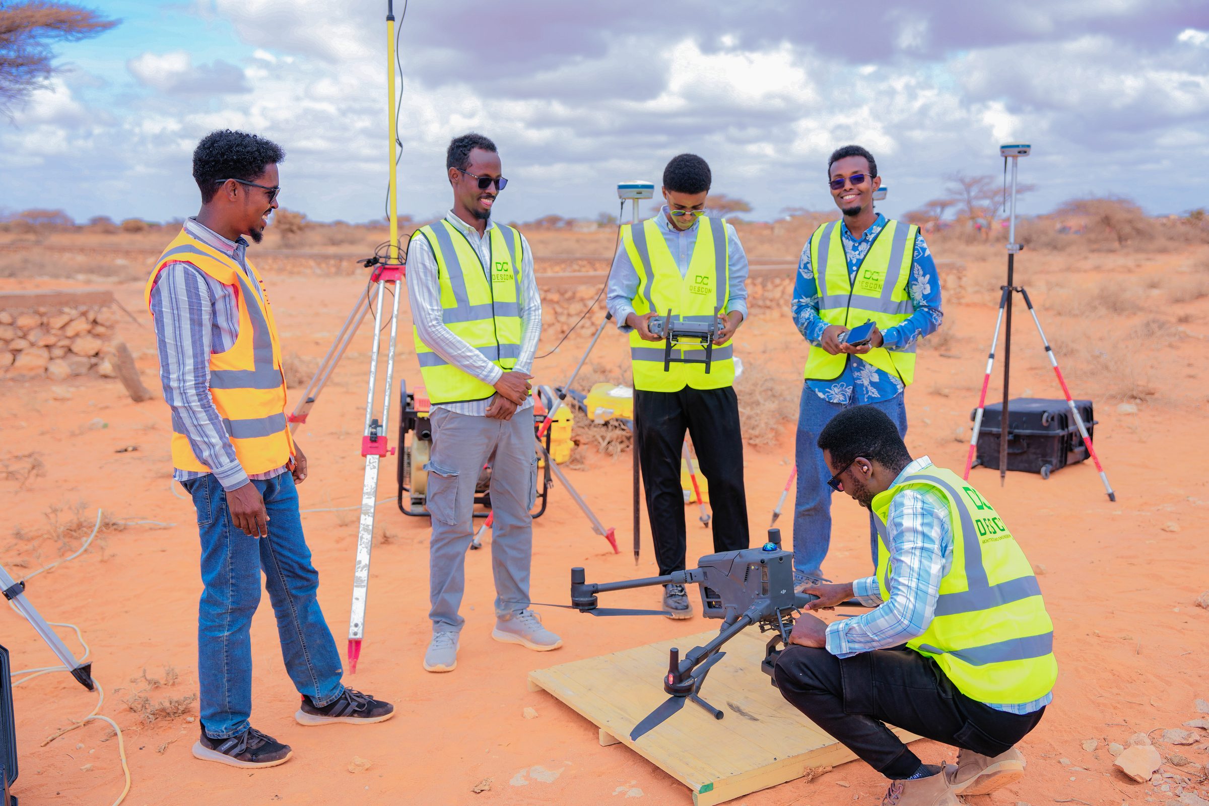
Running pre-flight checks with DESCON partner technicians before launch.
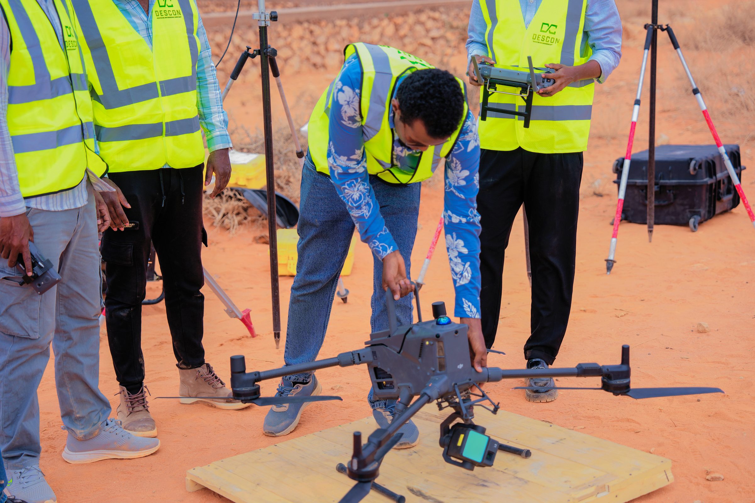
Final checks on the drone's camera and rotors before takeoff.
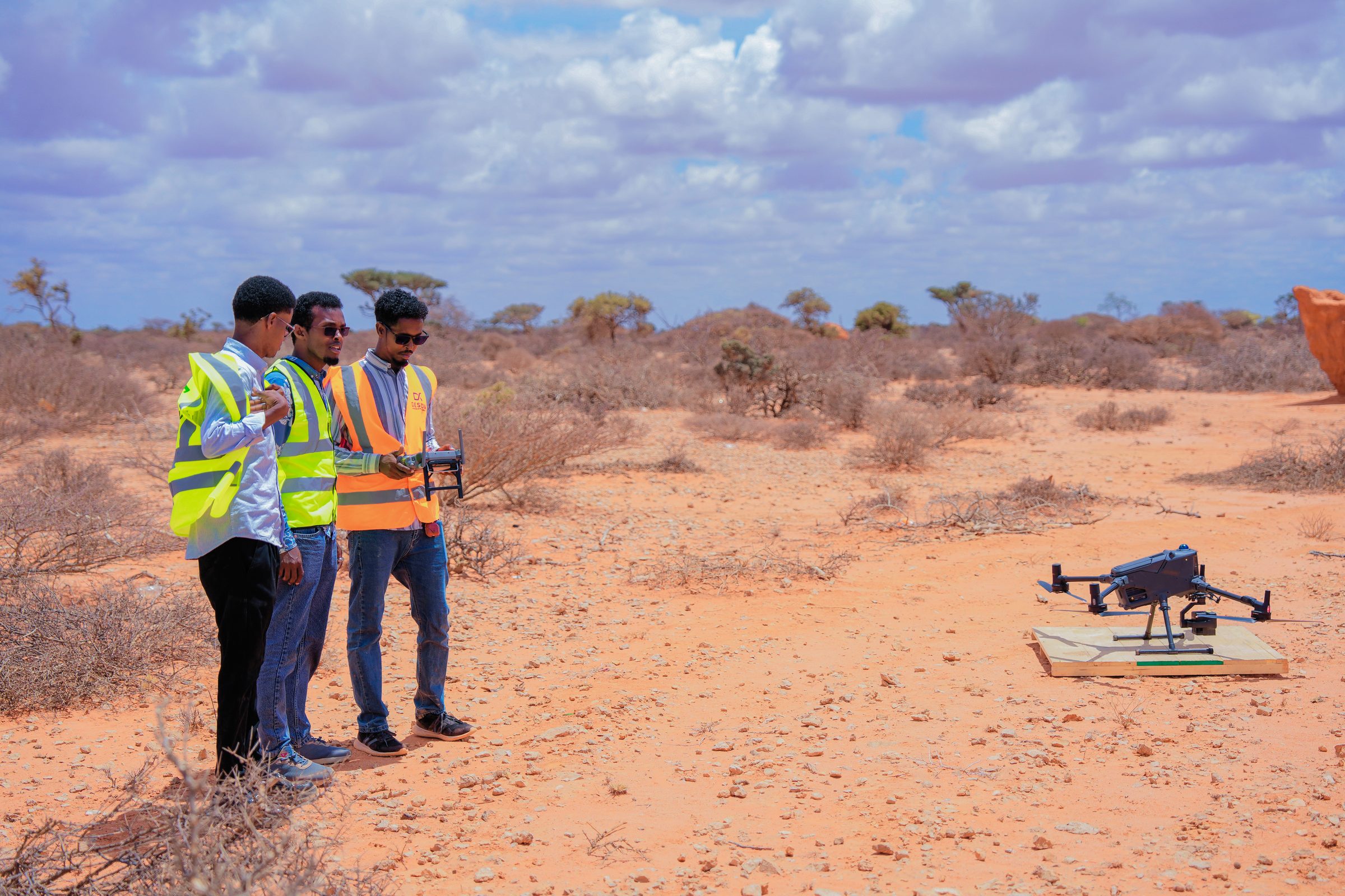
On standby as the drone is readied for launch in open terrain.
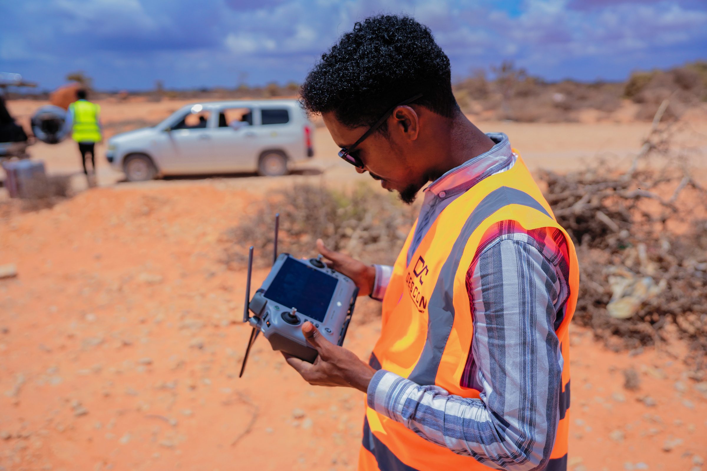
Piloting the mapping flight from the DJI enterprise controller.
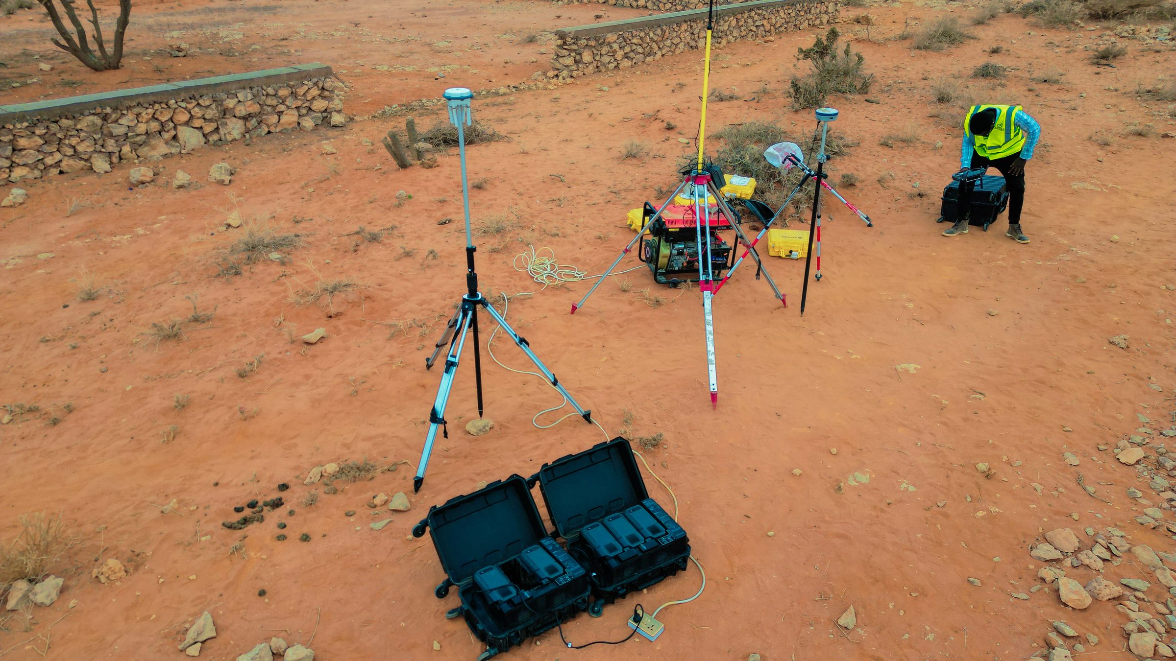
GNSS rover and base equipment staged for a control survey.
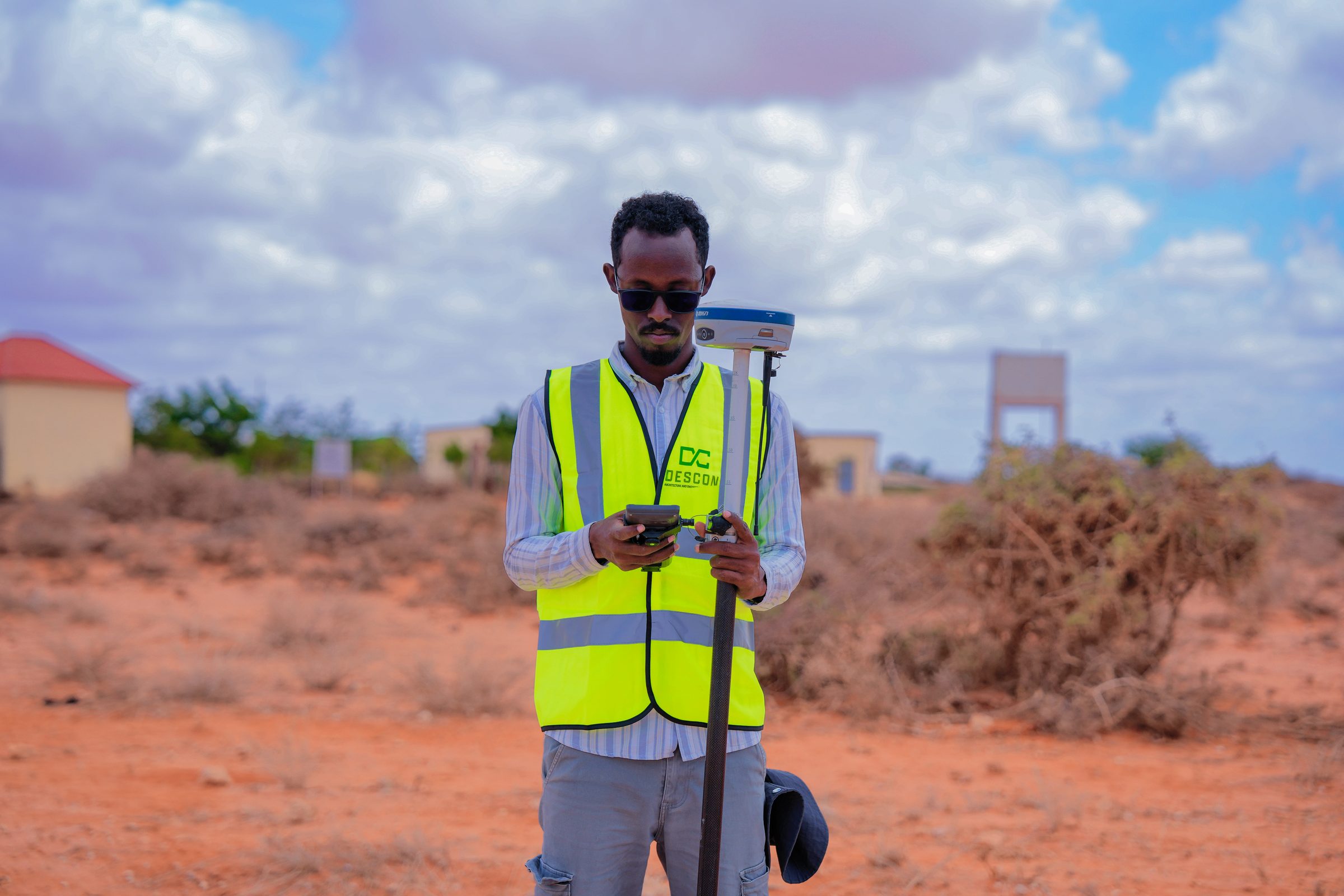
Capturing a control point with a GNSS rover in the field.
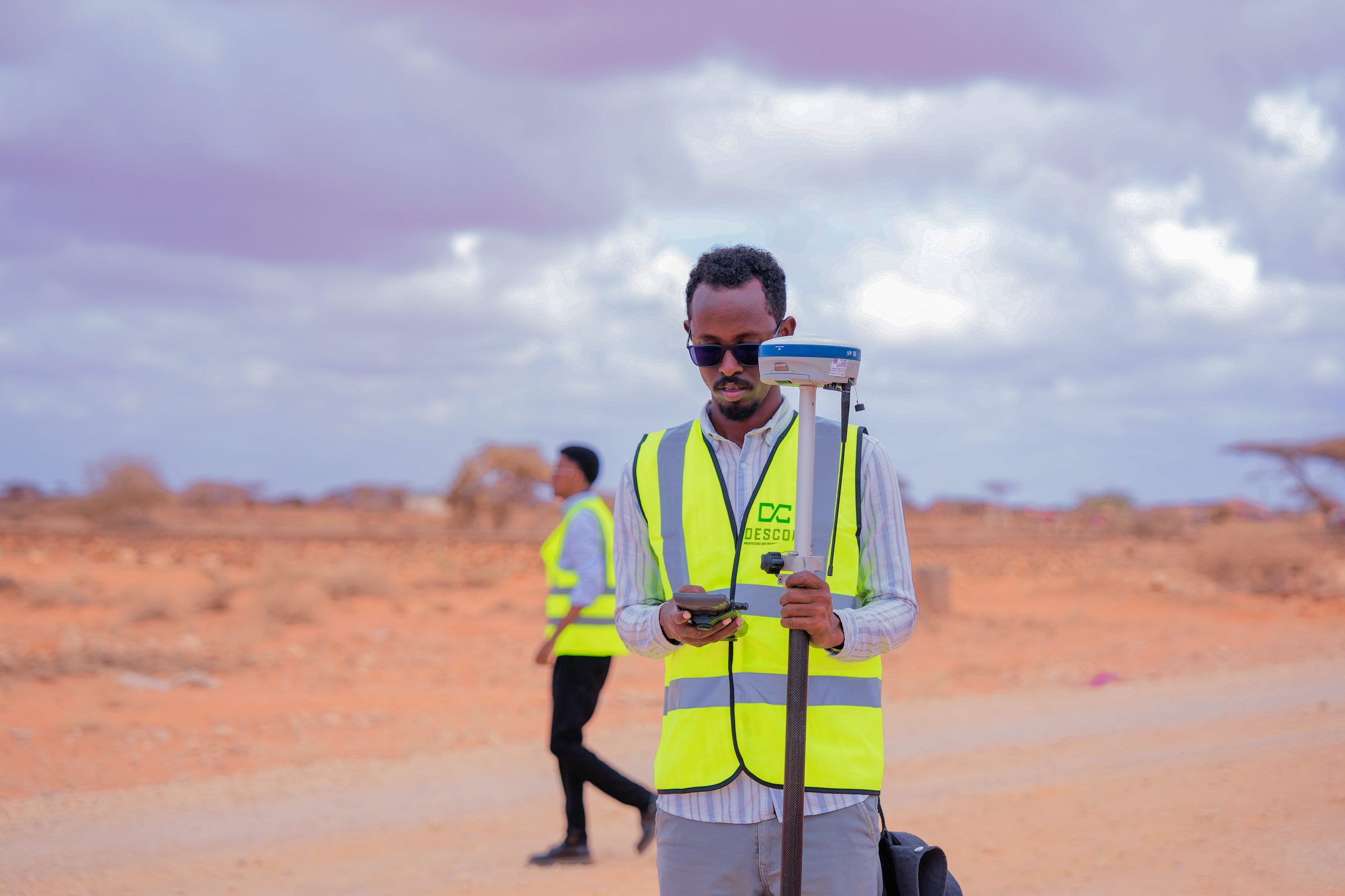
A GNSS rover reading taken along the survey corridor.
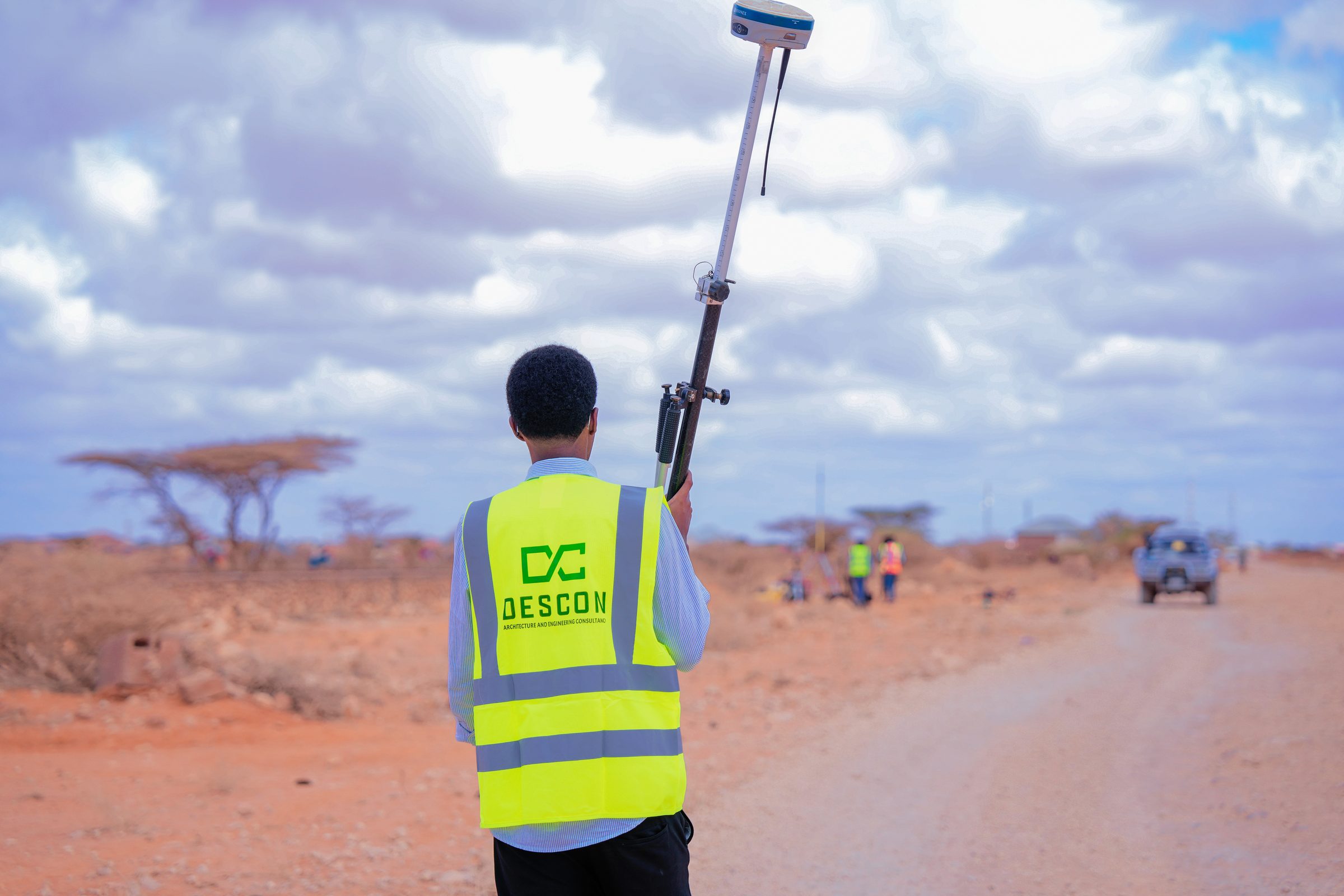
Walking a survey transect with the GNSS rover, DESCON partner crew in the field.
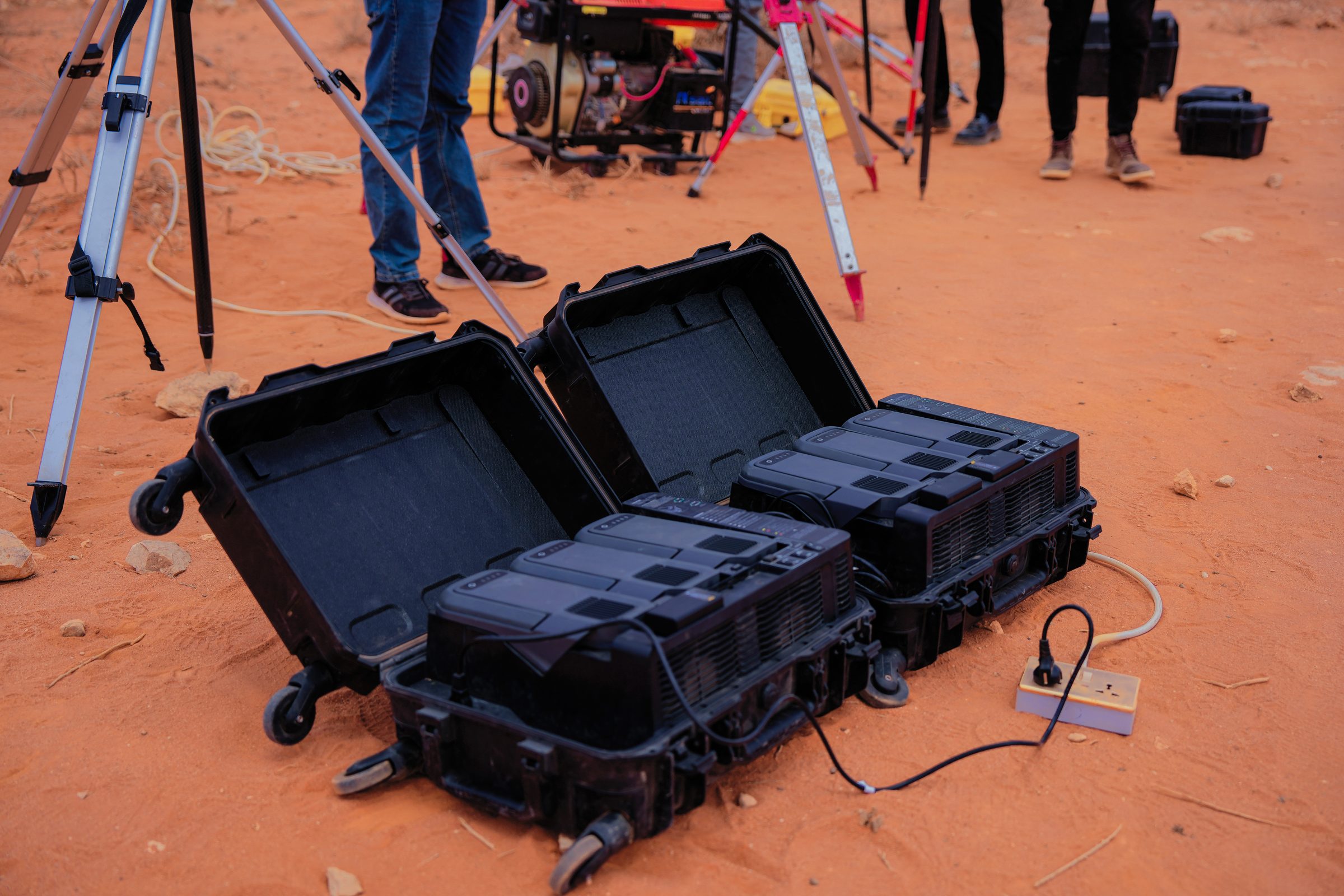
Equipment cases and base-station gear staged for the day's survey.
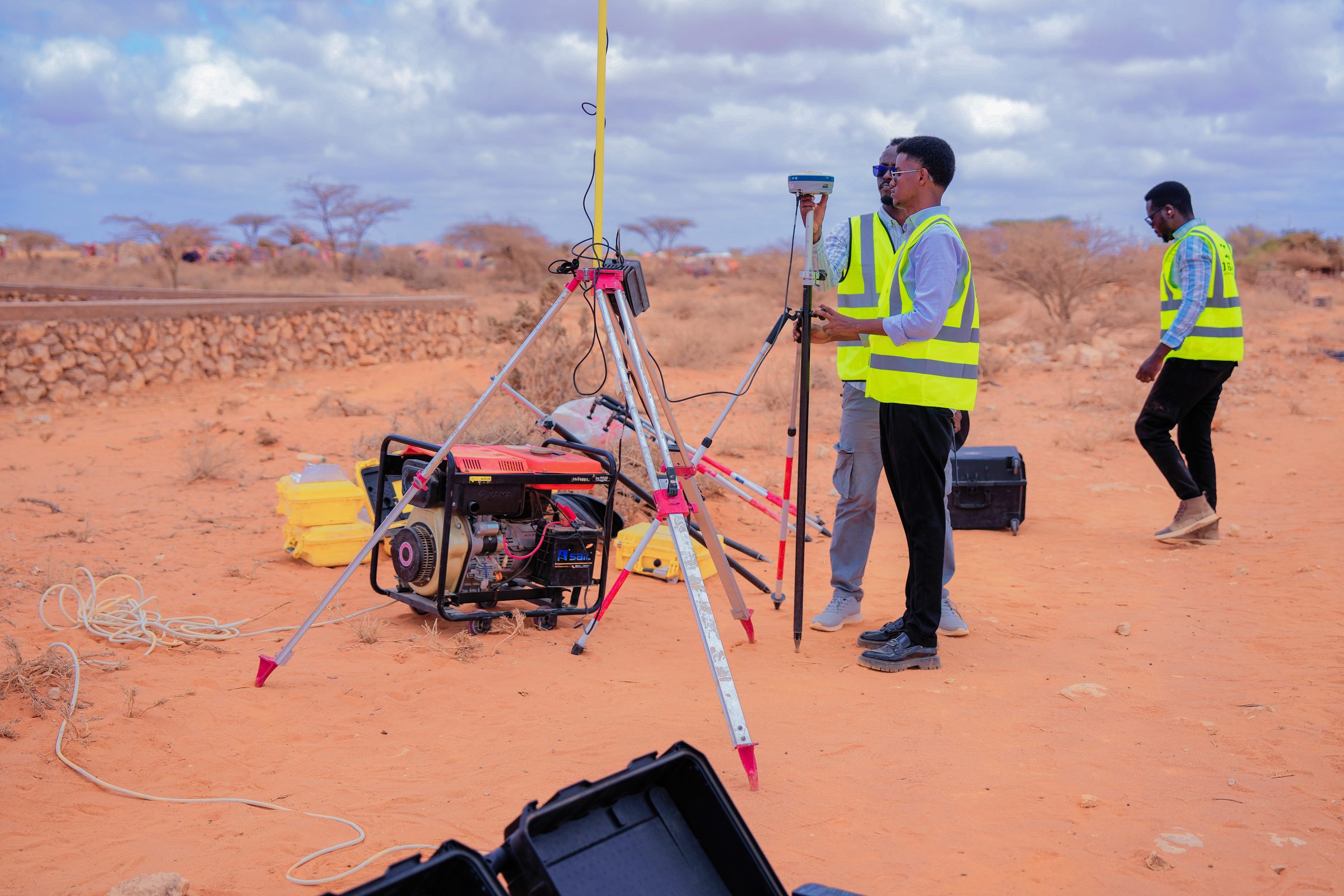
Setting up the GNSS base station and generator ahead of a control survey.
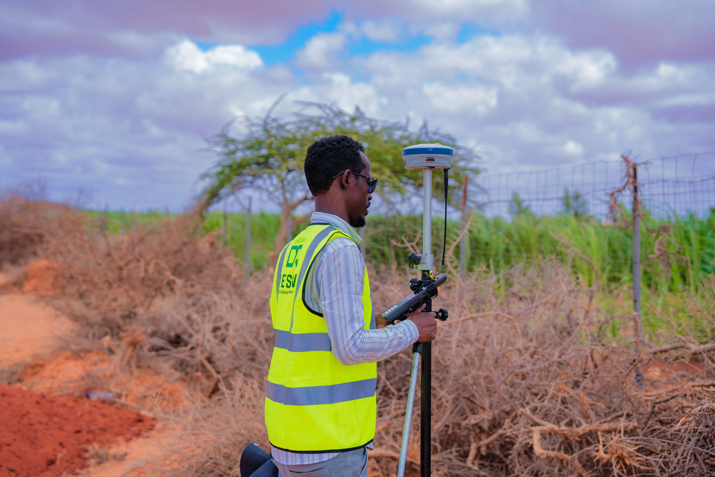
A GNSS rover reading captured at the edge of a cultivated field.
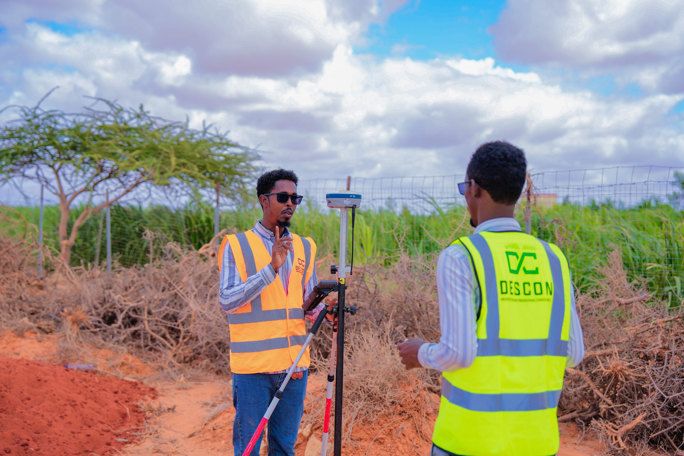
A field briefing with DESCON partner technicians during a GNSS survey.
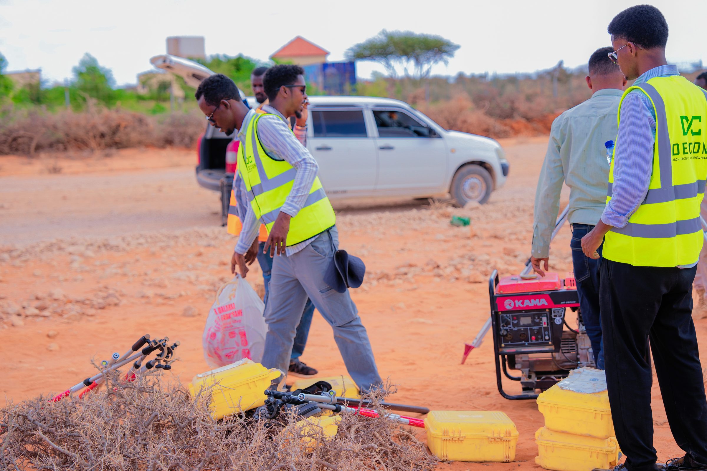
Field logistics: refuelling the generator between survey stops.
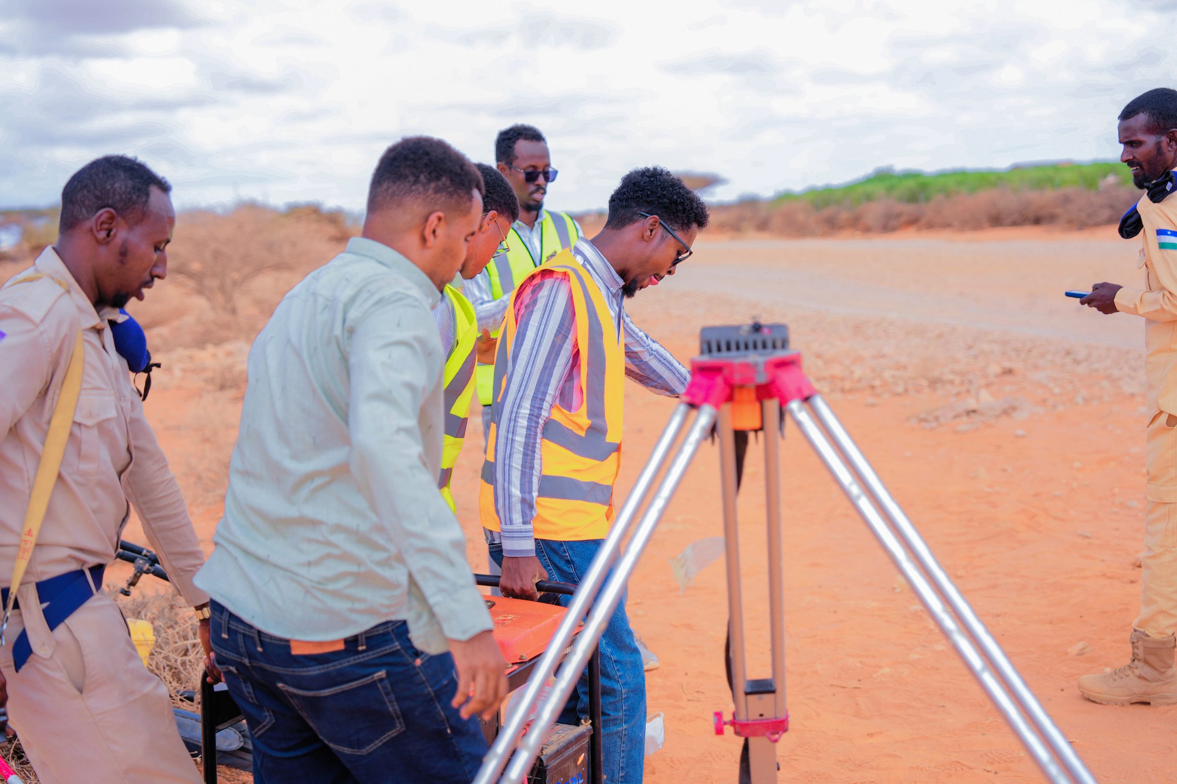
Setting up positioning equipment on-site, field vehicle standing by.
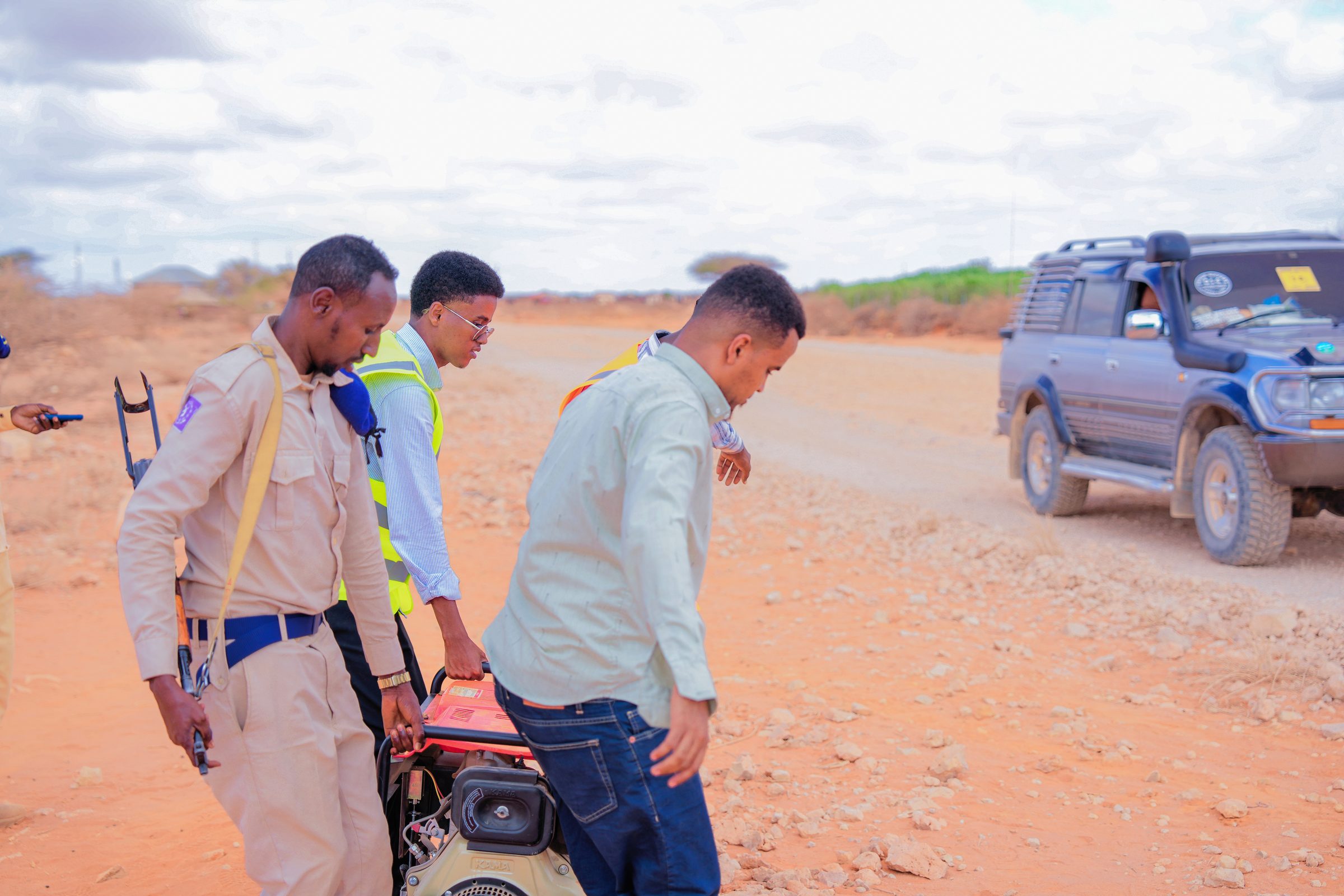
Moving equipment between set-up points during a day of fieldwork.
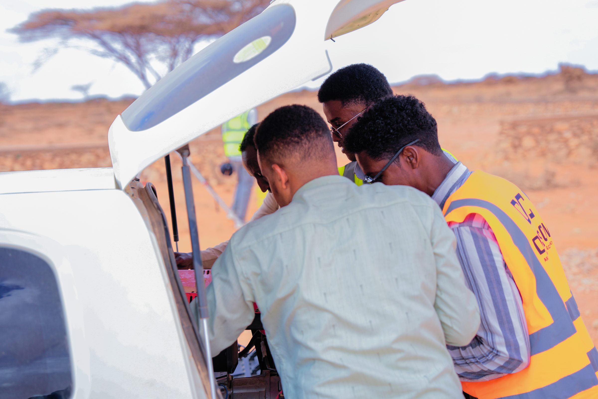
Loading GNSS survey equipment into the vehicle, in partnership with DESCON.